USAID DEC
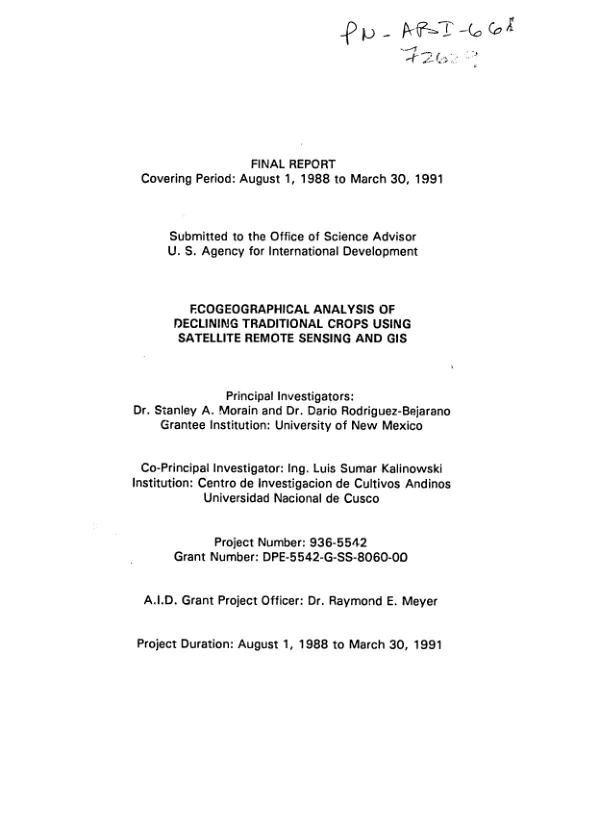
Ecogeographical analysis of declining traditional crops using satellite remote sensing and GIS
Sign inUNIVERSITY OF NEW MEXICO
Ecogeographical analysis of declining traditional crops using satellite remote sensing and GIS
Traditional crops represent a valuable source of genetic diversity whose preservation is indispensable to humanity.
Morain, Stanley A.; Rodriguez-Bejarano, Dario · 1970
Sign in to readA free account is required to download.
Abstract
A study was conducted in the Department of Cusco, Peru, to assess whether earth observing (satellite imagery) technology can be an effective tool for locating areas of traditional crop cultivation and characterizing the ecological niches in which they are found. The study focused on six traditional Inca crops: kiwicha, quinoa, oca, olluco, anu, and tarwi. Among the findings, two are particularly germane: (1) It is possible to detect and locate agricultural plots as small as 700 square meters using current spatial resolution SPOT imagery. (2) It is also possible to detect and classify tarwi, quinoa, and kiwicha using current spectral resolution TM data. Appendices contain raw data, graphs, charts, and satellite images.
Connected topics
Related documents
Documents in this collection
![Estimation of seasonal dynamics of arid zone pasture and crop productivity using AVHRR [advanced very high resolution radiometer] data -- phase II : launching the remote sensing system -- final report](https://covers.devme.ai/gen/74426.webp) 2001
2001USAID DEC
Estimation of seasonal dynamics of arid zone pasture and crop productivity using AVHRR [advanced very high resolution radiometer] data -- phase II : launching the remote sensing system -- final report
Open record 1970
1970USAID DEC