USAID DEC
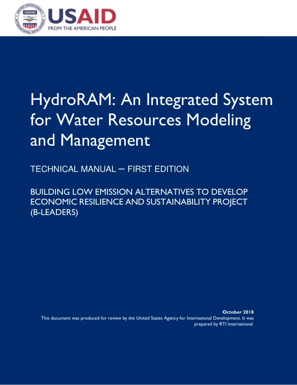
HydroRAM: An Integrated System for Water Resources Modeling and Management TECHNICAL MANUAL – FIRST EDITION BUILDING LOW EMISSION ALTERNATIVES TO DEVELOP ECONOMIC RESILIENCE AND SUSTAINABILITY PROJECT (B-LEADERS)
Sign inRTI INTERNATIONAL
HydroRAM: An Integrated System for Water Resources Modeling and Management TECHNICAL MANUAL – FIRST EDITION BUILDING LOW EMISSION ALTERNATIVES TO DEVELOP ECONOMIC RESILIENCE AND SUSTAINABILITY PROJECT (B-LEADERS)
HydroRAM is an integrated system for water resources modeling and management.
2018 · 107 pages
Sign in to readA free account is required to download.
Abstract
The system is designed to provide a comprehensive framework for simulating and analyzing various aspects of water resources, including precipitation, temperature, catchment characteristics, and groundwater levels. HydroRAM is a key component of the Building Low Emission Alternatives to Develop Economic Resilience and Sustainability Project (B-LEADERS), which aims to promote economic resilience and sustainability in developing countries. The HydroRAM system functionality is based on several key components, including the Generalized Watershed Loading Function (GWLF) model, sediment loading, reservoir simulations, and groundwater modeling. The GWLF model is a widely used tool for simulating watershed hydrology and is used in HydroRAM to estimate precipitation-runoff relationships, evapotranspiration, and groundwater recharge. The model takes into account various factors, including land cover, soil type, and topography, to simulate the hydrological processes within a watershed. Sediment loading is another critical component of HydroRAM, which is used to estimate the amount of sediment transported by rivers and streams. The system uses the Modified Universal Soil Loss Equation (MUSLE) to estimate sediment loads, which takes into account factors such as rainfall intensity, soil erodibility, and land cover. The system also uses the Garrilovic method to estimate sediment loads, which is based on the concept of sediment transport capacity. Reservoir simulations are an essential component of HydroRAM, which is used to simulate the behavior of reservoirs and estimate their water levels, outflows, and sediment loads. The system uses a reservoir module to simulate the hydrological processes within a reservoir, including inflows, outflows, and evaporation. The module takes into account various factors, including reservoir geometry, water levels, and sediment loads. Groundwater modeling is another key component of HydroRAM, which is used to simulate the behavior of groundwater systems and estimate groundwater levels, recharge rates, and discharge rates. The system uses a groundwater module to simulate the hydrological processes within a groundwater system, including recharge, discharge, and flow. The module takes into account various factors, including aquifer properties, recharge rates, and discharge rates. Data assembly and database structure are critical components of HydroRAM, which are used to store and manage the large amounts of data required for water resources modeling and management. The system uses a database management system to store and manage data on precipitation, temperature, catchment characteristics, and groundwater levels. The system also uses a data assembly module to assemble and process the data required for modeling and analysis. HydroRAM system functionality and usage are described in detail in the technical manual. The manual provides a comprehensive overview of the system's capabilities, including its data assembly and database structure, system functionality, and usage. The manual also provides detailed instructions on how to use the system, including how to install and register the system, run the model, and interpret the results. The HydroRAM system has several key features, including its ability to simulate various aspects of water resources, including precipitation, temperature, catchment characteristics, and groundwater levels. The system also has the ability to estimate sediment loads, reservoir water levels, and groundwater levels. The system is designed to be user-friendly and provides a comprehensive framework for water resources modeling and management. The HydroRAM system has several applications in water resources management, including flood risk assessment, water quality management, and reservoir operation. The system can be used to simulate various scenarios, including changes in precipitation patterns, land use changes, and climate change. The system can also be used to estimate the impacts of these scenarios on water resources, including changes in water levels, sediment loads, and groundwater levels. Overall, HydroRAM is a powerful tool for water resources modeling and management, providing a comprehensive framework for simulating and analyzing various aspects of water resources. The system has several key features, including its ability to simulate precipitation, temperature, catchment characteristics, and groundwater levels, as well as its ability to estimate sediment loads, reservoir water levels, and groundwater levels. The system is designed to be user-friendly and provides a comprehensive framework for water resources modeling and management.
Related documents