USAID DEC
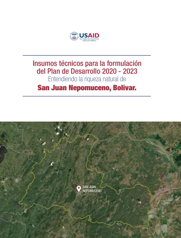
Plan de Desarrollo 2020 - 2023 para San Juan Nepomuceno, Bolívar
San Juan Nepomuceno, a municipality in the Bolívar department of Colombia, covers an area of 63,700 hectares and has a population of 34,000 inhabitants, according to the 2005 census.
2020 · 13 pages
Sign in to readA free account is required to download.
Abstract
The main economic activities in the municipality are livestock and agriculture. The municipality's altitude ranges from 50 to 530 meters above sea level. The municipality is characterized by a high percentage of transformed ecosystems, with only 15% of its area presenting natural ecosystems. The dominant ecosystems are agroecosystems, which cover 58% of the municipality's area, followed by bosque fragmentado, which covers 18% of the area. The municipality has a total of 9 cuencas, and it is located in the hydrographic zone of the lower Magdalena. The municipality's water supply comes from the Río Magdalena, and it is expected that the regional aqueduct will provide water to the municipalities of San Jacinto and San Juan Nepomuceno. The municipality has a total of 13% of the forest cover of the Bolívar department, and it is the third municipality in the department with the most forest cover. The municipality has a total of 20,446 hectares of priority conservation areas, which are mainly bosques and arbustales. The deforestation rate in the municipality has been high, with a total of 29,644 hectares of forest lost between 1990 and 2018. The areas of highest concentration of deforestation alerts are located in the western and eastern parts of the municipality, which coincide with the areas with the most forest cover. The municipality is also affected by mining and hydrocarbon activities, with 12% of the mining titles and 17% of the available areas crossing with protected soils. The areas of highest concentration of deforestation alerts are also areas of high biodiversity, which puts the conservation of the forest at risk. The climate in the municipality is expected to change, with a decrease in precipitation of between 10% and 19% in the majority of the territory, and a decrease of between 20% and 29% in the southwestern part of the municipality. The temperature is expected to increase by 1-1.2°C in the western and eastern parts of the municipality, and by 0.8-1°C in the central part of the municipality. The municipality has a total of 35% of its area under protection, and 63% under rural land use. The proposed modification to the Plan de Ordenamiento Territorial (POT) includes the classification of the soil into different categories, including protection, rural, and urban areas.