USAID DEC
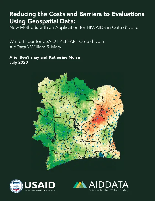
Reducing the costs and barriers to evaluations using geospatial data : new methods with an application for HIV/AIDS in Cote d"Ivoire
Sign inCOLLEGE OF WILLIAM AND MARY. AIDDATA CENTER FOR DEVELOPMENT POLICY
Reducing the costs and barriers to evaluations using geospatial data : new methods with an application for HIV/AIDS in Cote d"Ivoire
We aim to help evaluators, funders, and project implementers understand their options for combining multiple rounds of surveys and spatial data to evaluate projects, particularly those in the health sector.
BenYishay, Ariel; Nolan, Katherine · 2020
Sign in to readA free account is required to download.
Abstract
We describe new geospatialmethods that allow one to use geospatially interpolated ("predicted") data in place of one or more rounds of primary survey data. We simulate the statistical power under the most common cases that entail alternative configurations of these methods. As an application of these methods, we focus on the case of HIV/AIDS indicators in Cote d"Ivoire, derived from geo-located DHS and MICS data, as well as interpolated layers from IHME. We find that combining baseline predicted surface data with follow-up survey data provides the most statistical precision, allowing evaluators to detect even small treatment effects. Such configurations are feasible as retrospectively designed evaluations and thus are usable in a wide array of real world contexts and can help evaluators overcome barriers to running impact evaluations such as cost constraints that inhibit the collection of project-specific data.
Connected topics
Related documents
Documents in this collection
 2020
2020USAID DEC
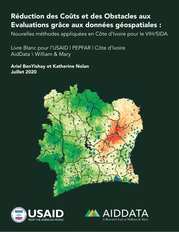
Reeduction des couuts et des obstacles aux evaluations graace aux données geeospatiales : nouvelles meethodes appliqueues en Coote d’Ivoire pour le VIH/SIDA
Open record 2004
2004USAID DEC