USAID DEC
Análisis de alertas históricas y recientes de deforestación y su relación con biodiversidad, ecosistemas y bosque estable
Sign inAGENCIA DE LOS ESTADOS UNIDOS PARA EL DESARROLLO INTERNACIONAL
Análisis de alertas históricas y recientes de deforestación y su relación con biodiversidad, ecosistemas y bosque estable
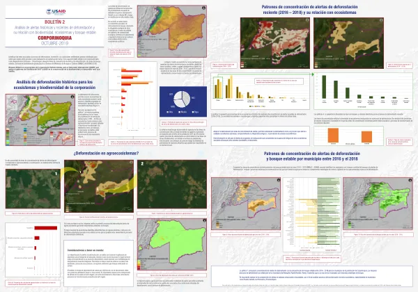
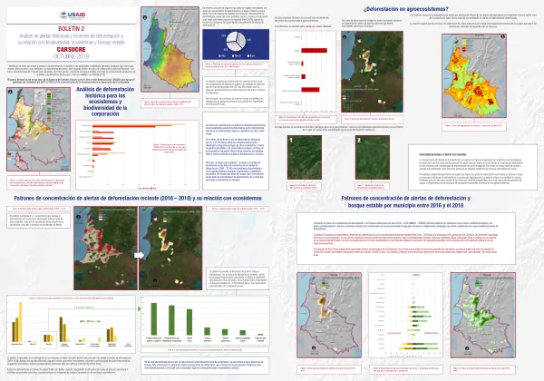
The region of Carsucre in Colombia is experiencing significant deforestation, with a high concentration of alert areas in the departments of Chalán, Colosó, Los Palmitos, and Morroa.
2019 · 1 pages
Sign in to readA free account is required to download.
Abstract
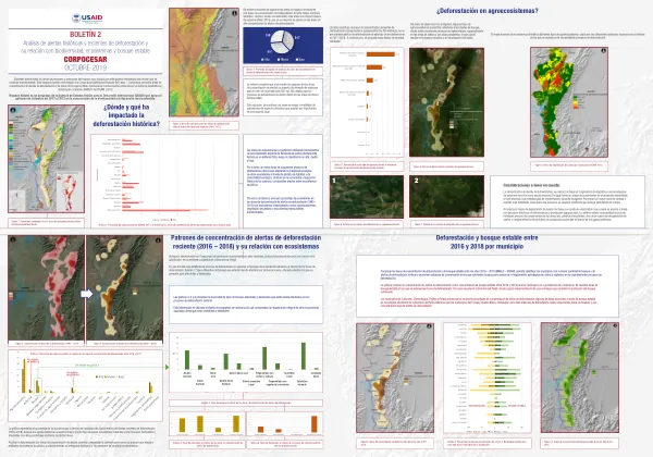
The majority of these areas are classified as agroecosystems, with a significant presence of fragmented forests, secondary vegetation, and subxerophytic ecosystems. The deforestation process is affecting multiple ecosystems, compromising their ecological integrity and the provision of ecosystem services. The analysis of deforestation patterns in the region reveals that the majority of the affected areas are located in the southern part of the jurisdiction, where the forest cover is scarce. The municipalities of Buenavista, Galeras, San Juan de Betulia, Sincé, and Sincelejo are among the most affected, with a high concentration of agroecosystems and a lack of forest cover. In these areas, it is recommended to strengthen sustainable livestock production practices and incorporate tree cover into their productive systems. The municipality of San Onofre stands out as the area with the highest concentration of deforestation alerts, despite having a significant presence of forest cover. Chalán, Colosó, Los Palmitos, and Morroa also have significant areas of forest cover that represent opportunities for local conservation efforts. The analysis of deforestation patterns in the region highlights the need to develop strategies for the conservation and restoration of forests, as well as the implementation of sustainable land-use practices. The region's biodiversity and ecosystem services are at risk due to the ongoing deforestation process, and it is essential to take action to mitigate these impacts and promote sustainable development.
Related documents