USAID DEC
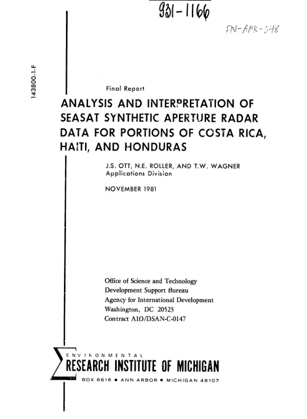
Analysis and interpretation of SEASAT synthetic aperture radar data for portions of Costa Rica, Haiti, and Honduras
Sign inENVIRONMENTAL RESEARCH INSTITUTE OF MICHIGAN (ERIM)
Analysis and interpretation of SEASAT synthetic aperture radar data for portions of Costa Rica, Haiti, and Honduras
Space-borne remote sensing is a relatively novel technique for mapping, monitoring, and inventorying forestry, geological, soil, and water resources.
Ott, J. S.; Roller, N. E. +1 more · 1970
Sign in to readA free account is required to download.
Abstract
This report describes a 1-1/2 year project to study the nature of Seasat Synthetic Aperture Radar (SAR) remote sensing data for portions of Costa Rica, Haiti, and Honduras and to assess SAR-type data utility for supplying resource information to developing countries. Unlike Landsat remote sensing, SAR, a high-resolution imaging system, enabled Seasat to "see" through unfavorable weather conditions, including clouds, haze, and dust, often present during tropical growing periods. Data for agricultural Western Costa Rica revealed significant differences in tone and texture relating to vegetation height and density. Bare and newly planted fields (rice, cotton, and sugar cane in early growth) were differentiated from fields with moderate crop growth (pasture) and these in turn were differentiated from relatively tall or rough canopied crops (sorghum, forests, and ripened cane). In Haiti, drainage patterns and geologic faults were apparent and could possibly be mapped from the SAR data. Vegetation information was interpretable only in a few level coastal and plain areas. Data for Eastern Honduras revealed differences in marsh vegetation and soil moisture content as well as varied vegetation patterns determined by topography and surface hydrology. Analysis of the utility of the black and white SAR imagery revealed that Landsat color imagery is a better source for identifying vegetation cover, particularly in high relief areas. Conversely, Seasat SAR imagery enhances certain topographic features and is better suited for wetlands, soil moisture patterns, and physiographic features which make use of SAR"s all-weather capacities. Ideally, a combination of both data sources, as verified by onsite surveys, would be optimal for geological and hydrological studies. The authors recommend that the effects of SAR system parameters on radar response (e.g., the wavelength and polarization of the radar and the incident angle of the radar beam) be studied further to determine the most appropriate satellite radar system for each of A.I.D."s assistance programs. Appended is a 34-item bibliography (1960-80).