USAID DEC
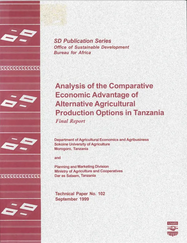
Analyzing comparative advantage of agricultural production and trade options in Southern Africa : guidelines for a unified approach
Sign inAMEX INTERNATIONAL, INC.
Analyzing comparative advantage of agricultural production and trade options in Southern Africa : guidelines for a unified approach
This study presents the unified analytic framework used in a series of recent studies of comparative economic advantage (CEA) in agriculture in Southern Africa.
Hassan, R. M.; Fairbanks, D. H. K. · 1999
Sign in to readA free account is required to download.
Abstract
The framework, which emphasizes the use of spatial analysis and geographic information systems (GIS) tools, was developed to enable the country studies to: (1) evaluate the CEA of alternative agricultural production activities in various agro-ecological zones and under different technology levels and land tenure systems; (2) analyze the potential impacts on the economic efficiency of alternative productive systems of removing existing price and policy distortions in the structure of the economic incentives; (3) identify points of policy, technology, and institutional intervention to enhance economic efficiency and maximize the productivity of agricultural resources; and (4) build the country data components needed for regional analysis of CEA and agricultural trade in Southern Africa. The main part of the report is in two sections. The first, on data needs and the generation of parameters, discusses: (1) the construction of enterprise budgets; (2) the calculation of private (market) and social (economic) prices for both traded resources and non-traded resources (capital, labor, land, and water) in a way that accounts for distortions; (3) the use of sensitivity analysis to distinguish trend and current parameter values; (4) identification of the non-tradable components of traded goods; and (5) the importance of limiting the number of categories in a CEA analysis. The types of specialists to be included in the multidisciplinary team recommended for CEA research are also listed. The second part of the report discusses the use and application of GIS and spatial analysis tools for CEA research. Individual sections discuss: (1) characterizing the spatial diversity in study area production environments by relating their agro-ecological zones to major international climatic regions (dry tropical, moist tropical, humid tropical, dry and moist subtropical, dry and moist temperate, alpine, cold and warm desert, Mediterranean, and maritime); (2) using a grid-based GIS to simulate a region"s crop potential despite variables of rainfall, heat units, soil types, and management; (3) integrating survey data through the use of spatial sampling frames; and (4) conducting spatial analysis of key CEA determinants. Includes references.