USAID DEC
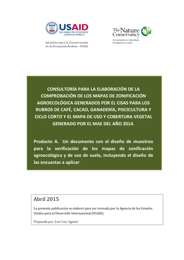
CONSULTORÍA PARA LA ELABORACIÓN DE LA COMPROBACIÓN DE LOS MAPAS DE ZONIFICACIÓN AGROECOLÓGICA GENERADOS POR EL CISAS PARA LOS RUBROS DE CAFÉ, CACAO, GANADERÍA, PISCICULTURA Y CICLO CORTO Y EL MAPA DE USO Y COBERTURA VEGETAL GENERADO POR EL MAE DEL AÑO 2014
Sign inAGENCIA DE LOS ESTADOS UNIDOS PARA EL DESARROLLO INTERNACIONAL
CONSULTORÍA PARA LA ELABORACIÓN DE LA COMPROBACIÓN DE LOS MAPAS DE ZONIFICACIÓN AGROECOLÓGICA GENERADOS POR EL CISAS PARA LOS RUBROS DE CAFÉ, CACAO, GANADERÍA, PISCICULTURA Y CICLO CORTO Y EL MAPA DE USO Y COBERTURA VEGETAL GENERADO POR EL MAE DEL AÑO 2014
The agricultural development initiative in the province of Sucumbíos, Ecuador, began with the establishment of the Centro de Investigaciones y Servicios Agropecuarios (CISAS) by the provincial government.
2015 · 28 pages
Sign in to readA free account is required to download.
Abstract
The CISAS is an autonomous institution dedicated to research, extension agroforestry, commercialization, and value-added production of the province's products. The CISAS prioritized work with five main crops: coffee, cacao, livestock, aquaculture, and short-cycle crops (maize and rice). To address these challenges, the CISAS established an agreement with The Nature Conservancy (TNC) to implement projects related to land management and territorial consolidation, alternative activities to deforestation, and environmental management. The objectives of the present consultoría are to verify in the field the levels of productivity in farms and define productive practices, according to the agroecological zoning maps of the prioritized crops by the CISAS (coffee, cacao, short-cycle crops (maize and rice), livestock, and aquaculture) and to verify in the field the map of land use and vegetation cover generated by the MAE-MAGAP in 2014. As part of this verification process, possible adjustments in the zoning and prioritization of interventions by the provincial government will be recommended for work with these crops. The province of Sucumbíos is located in the northeastern part of the country, within the following coordinates: 0°39’56” north; -75°13’19” east; -0°39’11” south, and -77°58’37” west. It covers an area of 18,059 km2, which corresponds to 6.8% of the national territory. The province borders Colombia to the north, Peru to the east, the provinces of Orellana and Napo to the south, and the provinces of Carchi, Imbabura, and Pichincha to the west. The methodology for the verification of the agroecological zoning maps and land use will involve a non-probabilistic sampling design, where the selection of the sample will be based on the discretion of the researchers. The sample will be categorized into three groups: high, medium, and low productivity. The design of the survey will include questions related to the productive practices, soil management, and market access of the farmers. The survey will be applied to a total of 150 farms, distributed among the five prioritized crops. The survey will be designed to collect data on the productive practices, soil management, and market access of the farmers. The data will be analyzed using statistical tests, such as the t-test and analysis of variance, to identify the factors that influence the levels of productivity of the crops. The results of the verification process will provide information on the levels of productivity of the crops, the factors that influence these levels, and the productive practices that are being used by the farmers. This information will be used to recommend possible adjustments in the zoning and prioritization of interventions by the provincial government for work with these crops.
Related documents