USAID DEC
DDM DMRS Response SOP – August 2019
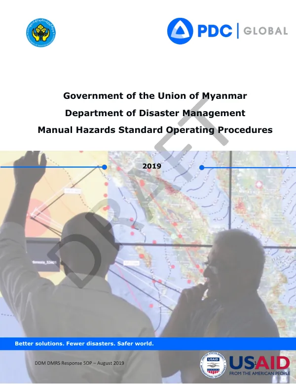
The Department of Disaster Management's Disaster Monitoring and Response System (DMRS) is a critical tool for the Government of the Union of Myanmar to provide timely and accurate hazard information.
2019 · 30 pages
Sign in to readA free account is required to download.
Abstract
This system supports the assessment of potential impacts and needs, enabling the Government to quickly mobilize resources to protect lives and reduce losses. During emergency operations, DMRS can be used to monitor evolving situations, share information products, and coordinate response activities. The DMRS system is based on Pacific Disaster Center's (PDC) Disaster All-hazards Warning, Analysis, and Risk Evaluation (DisasterAWARE) platform, which provides a foundation for customized early warning applications. DMRS continually monitors information feeds from reliable meteorological and geological agencies around the world, ensuring accurate and real-time reporting of hazard events. Decision makers receive early warning alerts delivered via email or mobile devices through reliable alert services. Subscribers to the Smart Alert service can elect to receive alerts according to hazard type, severity, and geographic region. The DMRS system provides a sophisticated geospatial information environment that puts hazard data into context for responders. Collaborating experts can instantly share analyses and situational reports through a simple process, supported by a mobile application interface. This enriches the knowledge base for all stakeholders and enables informed decision-making. The DMRS Response SOP outlines the responsibilities and procedures for using the DMRS system during emergency response operations. The SOP is designed to support the use of DMRS for emergency response operations and provides a guide for users. The SOP covers various aspects of DMRS, including training and updates, watch officer responsibilities, and emergency response process flow diagrams. The DMRS system is a critical tool for the Government of the Union of Myanmar to respond to disasters and emergencies. The system provides timely and accurate hazard information, supports assessment of potential impacts and needs, and enables the Government to quickly mobilize resources to protect lives and reduce losses. The DMRS Response SOP provides a comprehensive guide for using the DMRS system during emergency response operations. The DMRS system is designed to support a range of hazards, including biomedical, earthquake, extreme temperature, drought, floods, high surf, high wind/strong wind, landslide, man-made, marine, storm, tornado, tropical cyclones, tsunami, and wildfires. The system provides a sophisticated geospatial information environment that puts hazard data into context for responders. Collaborating experts can instantly share analyses and situational reports through a simple process, supported by a mobile application interface.