EVALUATION TECHNOLOGIES, INC.
Ecuador : a country profile
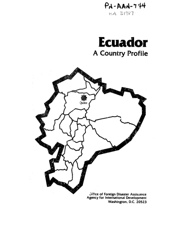
Coastal, highland, island, and jungle basin regions give Ecuador a varied climate and topography.
1983
Sign in to readA free account is required to download.
Abstract
This document profiles Ecuador and highlights the problems of flooding, deforestation, and soil erosion. Flooding, determined by the movement of the Humboldt current, occurs annually in populated and agricultural areas of the Costa region and is also frequent in the Amazon Basin. The severity of flood damage is linked to settlement patterns and inadequacy of public services. Little has been done to mitigate health dangers associated with standing water and as a result the risk of dermatological diseases and gastrointestinal ailments is high. Flood damage to agriculture is significant, not only to the crops themselves, but to the sugar, rice, and coffee processing industries. Earthquakes, landslides, and volcanic activity also pose serious threats to human settlement, while deforestation affects all major regions of the country. Government policy promoting the colonization and clearing of lands for "productive use" has exacerbated forest destruction. At the current rate of loss, tree cover in some areas of the country may vanish within 20 years. Concurrently, desertification is estimated to be occurring at an annual rate of 5,000 ha, while improper farming practices and wanton tree felling for charcoal and firewood are causing serious soil erosion which has been linked to downstream flooding and landslide activity. A 41-item bibliography is included.
Related documents