USAID DEC
Evaluating spatial coverage of data on aboveground biomass in undisturbed forests in the Brazilian Amazon
Sign inUSAID DEC
Evaluating spatial coverage of data on aboveground biomass in undisturbed forests in the Brazilian Amazon
The Brazilian Amazon biome, covering an area of approximately 3,139,172 km2, is a region of great interest for biodiversity, conservation, and ecosystem services.
2019 · 18 pages
Sign in to readA free account is required to download.
Abstract
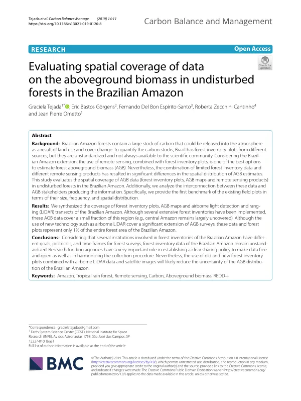
The Amazon forest holds a large stock of carbon in undisturbed forest, which is the starting point for quantifying carbon emissions from deforestation. However, land use and land cover change have greatly impacted these forests, resulting in significant carbon stock losses. To quantify the carbon stocks at the national scale, Amazon countries have been using forest inventory plots to measure aboveground biomass (AGB). Several studies have used high-resolution remote sensing data to estimate carbon stocks in the Brazilian Amazon, including Peru, Ecuador, and Brazil. AGB data estimates are necessary for National Communications on greenhouse gases (GHG) and reduce emissions from deforestation and degradation (REDD+), both under the United Nations Framework Convention on Climate Change (UNFCCC). Brazil, which contains 60% of the Amazon region, has been using forest inventory plots to report its GHG inventories under the UNFCCC. AGB quantification has many challenges, such as accessibility, long distances, and high costs of field measurements in large areas, such as the Brazilian Amazon biome. There are many forest inventory plots with AGB field measurements, but the collected AGB data are unstandardized and not always available to the scientific community to quantify forest carbon stocks. Given the great extent and variability of forest structures in the tropics, remote sensing is one of the best tools for estimating the AGB of tropical forests. With the new remote sensing sensors and statistical methods, such as light detection and ranging (LiDAR) and random forest interpolation modeling, there has been a great advance in the AGB estimates in the Brazilian Amazon. However, these efforts are still limited by the availability of data derived from field forest inventories. The combination of field AGB data and different remote sensing products has resulted in significant differences in the spatial distribution of AGB estimates in produced AGB maps of the Brazilian Amazon. This study evaluates the spatial coverage of AGB data in undisturbed forests in the Brazilian Amazon. The results are based on a review and organization of the existing AGB data, including forest inventory plot locations, airborne LiDAR transects, and AGB maps across the Brazilian Amazon biome. The study also conducted a social network analysis (SNA) of the stakeholders working with AGB data and quantified the coverage of forest inventory plots across environmental factor maps, including soil, topography, vegetation, and climate. The study found that several extensive forest inventories have been implemented in the Brazilian Amazon, but these AGB data cover a small fraction of the region. The use of new technology, such as airborne LiDAR, has covered a significant extension of AGB surveys, but these data and forest plots represent only 1% of the entire forest area of the Brazilian Amazon. The study also identified the fraction of the undisturbed forest covered by forest inventories and evaluated the distribution of forest inventory plots across environmental factor maps. The results of this study highlight the need for a clear sharing policy to make AGB data free and open, as well as the need to harmonize the collection procedure. The use of old and new forest inventory plots combined with airborne LiDAR data and satellite images will likely reduce the uncertainty of the AGB distribution of the Brazilian Amazon. The study's findings have important implications for the development of effective strategies for reducing emissions from deforestation and degradation in the Brazilian Amazon.
Related documents