USAID DEC
Multi-scale approach to estimating aboveground biomass in the Brazilian Amazon using Landsat and LiDAR data
Sign inUSAID DEC
Multi-scale approach to estimating aboveground biomass in the Brazilian Amazon using Landsat and LiDAR data
The multi-scale approach to estimating aboveground biomass in the Brazilian Amazon was developed by a team of researchers led by Erone Ghizoni Dos Santos, Yosio Edemir Shimabukuro, and Jean Pierre Ometto.
2019 · 1 pages
Sign in to readA free account is required to download.
Abstract
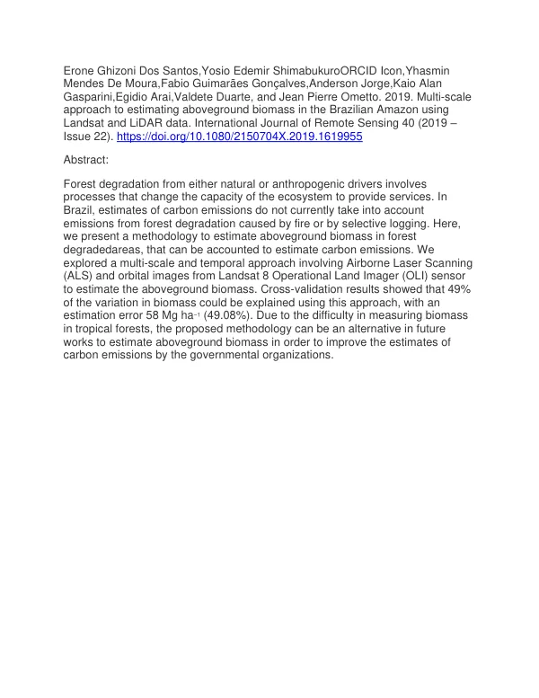
The study aimed to address the lack of consideration for carbon emissions from forest degradation caused by selective logging or fires in Brazil. Forest degradation involves processes that alter the ecosystem's ability to provide ecosystem services. The researchers employed a multi-scale and temporal approach combining Airborne Laser Scanning (ALS) and orbital images from the Landsat 8 Operational Land Imager (OLI) sensor to estimate aboveground biomass in degraded forests. The study demonstrated that this approach can be an effective alternative for estimating biomass in areas where direct measurements are challenging, such as in the Brazilian Amazon. The cross-validation results showed that 49% of the variation in biomass could be explained using this multi-scale approach, with an estimation error of 58 Mg ha−1 (49.08%). This level of accuracy is significant, considering the difficulties associated with measuring biomass in tropical forests. The proposed methodology has the potential to improve the estimation of carbon emissions by governmental organizations, which currently do not account for emissions from forest degradation. The study's findings have important implications for forest management and conservation efforts in the Brazilian Amazon. By providing a reliable method for estimating aboveground biomass, the researchers have taken a crucial step towards improving the accuracy of carbon emissions estimates. This, in turn, can inform policy decisions and inform strategies for mitigating the impacts of forest degradation. The multi-scale approach developed in this study can be applied to other regions with similar forest types and degradation patterns. The use of ALS and Landsat 8 OLI sensor data allows for the estimation of biomass at various spatial scales, from local to regional levels. This flexibility makes the approach versatile and applicable to a range of applications, from forest management to climate change research.
Related documents