BANK FOR WEST AFRICAN DEVELOPMENT
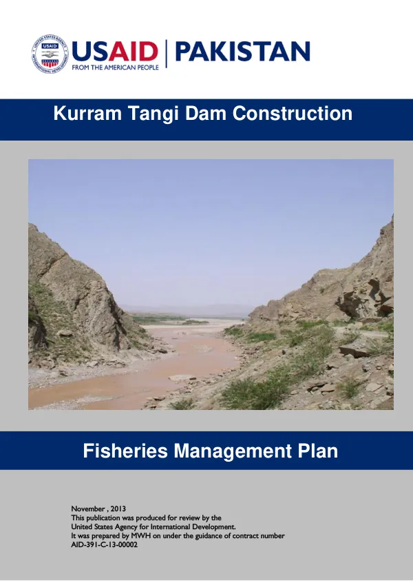
Fisheries Management Plan for the Kurram Tangi Dam Project
The Kurram Tangi Dam Project Fisheries Management Plan aims to sustain the existing indigenous fisheries resource and develop a new potentially commercial fishery in the Project reservoirs.
2013 · 23 pages
Sign in to readA free account is required to download.
Abstract
The plan is based on the FATA Sustainable Development Plan 2006-2015, which includes the development of fisheries as one of the plans for the natural resource-based sector. The plan's objectives are to conserve natural fisheries resources, increase the natural fish population in water bodies, conserve aquatic biodiversity, and improve ecosystem health. The fisheries resource affected by the Kurram Tangi Multipurpose Dam Project consists of 64 species of fish. A limited fishery survey conducted in the Kurram and Kaitu Rivers in June and July 2013 identified little fishing activity in the rivers and no commercial fishery exists. Fishing activity by local fishermen is for their own consumption. The plan aims to sustain the existing indigenous fisheries resource and develop a new potentially commercial fishery in the Project reservoirs. The plan will consist of implementing the mitigation actions recommended for Aquatic Resources in Sections 5.2, 5.3, and 5.4 of the Environmental Assessment (EA). During construction of the Kaitu Weir and Kurram Tangi Dam and Weirs II and III, mitigation actions will focus on minimizing adverse impacts on the aquatic habitat. This will be accomplished by containment/treatment of water contaminated by petroleum products, hazardous materials, or human wastes, and by avoiding or minimizing the use of in-river gravels, especially in riffle areas, as borrow materials. During Project operation, mitigation will focus on maintaining the existing fishery communities in the Kaitu and Kurram rivers, as well as developing reservoir fisheries. This will be done by minimizing fish entrainment into hydropower facilities, providing an Ecological Flow downstream of the Kaitu Weir, Kurram Tangi Dam, Weirs II and III, and the Kurram Garhi Headworks, providing a fishway at the Kaitu Weir, if one is found to be warranted, and stocking the Kurram Tangi Reservoir and Weir III reservoir. An intensive and comprehensive fish and water quality survey of the Kurram and Kaitu Rivers will be completed prior to implementing any of these mitigation programs. The survey will be conducted over the whole calendar year and will continue as a monitoring program for a period of five years following the start-up of each Project component. The survey will determine the impacts of the KTMDP and will provide the necessary baseline information for the effective design of the Project operation mitigation actions. The survey will be conducted at sampling sites located in the reach of the Kurram River extending from the Kurram Garhi Headworks to the Pakistani border with Afghanistan, and those in the Kaitu River from the Pakistani border with Afghanistan to the confluence of the Kaitu with the Kurram. The sites will be located upstream and downstream of the Kurram Tangi Dam, Weirs II and III, and the Kurram Garhi Headworks, and within the portions of the river to be impounded by these structures. The sites will be outside the influence of construction areas to the extent possible.
Related documents