USAID DEC
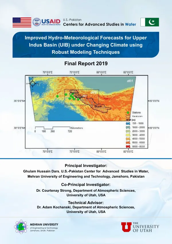
Improved Hydro-Meteorological Forecasts for Upper Indus Basin (UIB) under Changing Climate using Robust Modeling Techniques Final Report 2019
Sign inUNIVERSITY OF UTAH
Improved Hydro-Meteorological Forecasts for Upper Indus Basin (UIB) under Changing Climate using Robust Modeling Techniques Final Report 2019
The Upper Indus Basin (UIB) is a critical region for hydro-meteorological forecasting due to its complex geography and climate.
2019 · 34 pages
Sign in to readA free account is required to download.
Abstract
The UIB is characterized by a diverse range of elevations, from the snow-capped peaks of the Karakoram range to the fertile valleys of the Indus River. The region's climate is influenced by the Asian monsoon, with precipitation patterns varying significantly across different seasons. The UIB is home to several major rivers, including the Indus, Hunza, and Shigar, which are essential for irrigation, drinking water, and hydroelectric power generation. However, the region is also prone to natural disasters such as floods and landslides, which can have devastating impacts on local communities and infrastructure. To improve hydro-meteorological forecasting in the UIB, researchers have employed robust modeling techniques using the Weather Research and Forecasting (WRF) model and the WRF-Hydro hydrological modeling system. The WRF model is a state-of-the-art atmospheric model that simulates the behavior of the atmosphere, while the WRF-Hydro model simulates the movement of water through the environment. The study area for this research includes the Hunza and Shigar Basins, which are located in the UIB. The Hunza River Basin is a significant contributor to the UIB's hydrology, with a total catchment area of approximately 14,000 square kilometers. The Shigar River Basin is smaller, with a total catchment area of around 2,000 square kilometers. The researchers used a combination of atmospheric and hydrological models to simulate precipitation, temperature, and streamflow in the UIB. The WRF model was used to simulate atmospheric conditions, including precipitation and temperature, while the WRF-Hydro model was used to simulate the movement of water through the environment. The results of the study show that the WRF model performed well in simulating precipitation patterns in the UIB, with a root mean squared error (RMSE) of around 10 mm. The WRF-Hydro model also performed well in simulating streamflow, with a RMSE of around 5 mm. The study also found that the WRF model was able to capture the seasonal variability of precipitation in the UIB, with higher precipitation rates during the summer months. The study's findings have significant implications for hydro-meteorological forecasting in the UIB. The results suggest that the WRF model and WRF-Hydro model can be used to improve precipitation and streamflow forecasting in the region. This can help to mitigate the impacts of natural disasters such as floods and landslides, and support more effective water resource management in the UIB. The study also highlights the importance of building research partnerships between institutions in the UIB and international research organizations. The researchers acknowledge the support of the United States Agency for International Development (USAID) and the Pakistan Meteorological Department (PMD) for providing financial and technical support for the study. The study also acknowledges the support of the Center for High-Performance Computing, University of Utah, for providing computational resources. In conclusion, the study demonstrates the potential of robust modeling techniques using the WRF model and WRF-Hydro model to improve hydro-meteorological forecasting in the UIB. The study's findings have significant implications for water resource management and disaster risk reduction in the region.
Related documents