USAID DEC
Reconstructing the historical water regime of the contributing basins to the Hawizeh marsh: Implications of water control structures
Sign inELSEVIER LTD.
Reconstructing the historical water regime of the contributing basins to the Hawizeh marsh: Implications of water control structures
The Mesopotamian marshes, also known as the Iraqi marshes, are a unique wetland ecosystem located in southern Iraq and a portion of southwestern Iran.
2016 · 14 pages
Sign in to readA free account is required to download.
Abstract
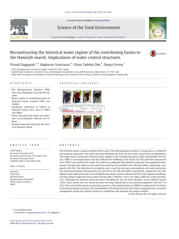
They are fed by the Tigris and Euphrates rivers and were once considered the cradle of western civilization and the Garden of Eden. The marshes cover an area of approximately 20,000 km2 and are divided into three major marsh areas: the Central Marshes, the Hammar Marshes, and the Hawizeh Marshes. The Hawizeh marsh, a transboundary wetland with about 75-80% of its area located in Iraq and the remainder in Iran, is hydrologically dependent on inflows from the Tigris river on the Iraq side and the Karkheh river on the Iran side. In the last few decades, several water control structures such as dams, barrages, and levees were built on the Tigris and Karkheh rivers to control floods and facilitate irrigated agricultural production. These structures have had a significant impact on the hydrology of the marshes, leading to a reduction in inflows and a decline in the marsh's ecosystem. A study was conducted to reconstruct the historical water regime of the contributing basins to the Hawizeh marsh, with a focus on the Tigris and Karkheh river basins. The study used the Soil and Water Assessment Tool (SWAT) to simulate the hydrological regime of the basins and evaluate the impacts of water control structures on inflows into the marsh. The results indicated that significant reductions in inflows to the Hawizeh marsh were seen in the 1990s and 2000s, with a 65% and 80% decrease, respectively, compared to the 1980s. The reductions in streamflow were caused by a decrease in precipitation and water abstraction. The highest water abstraction was seen in the Karkheh dam, which caused a reduction of 45% in the annual streamflows. Average annual evaporative losses from Tharthar lake (2700 km2) were very high (2260 hm3). Although the Hawizeh marsh has been shrinking for the last three decades, recent satellite images (2013) have shown that the marsh has been reviving, mainly due to increased precipitation from 2011 to 2013. However, the future of the marsh remains uncertain due to the planned dams on the Tigris and Karkheh river basins. The study's findings have significant implications for the management of the Hawizeh marsh and the Tigris and Karkheh river basins. The results highlight the need for integrated water resources management among the riparian countries to rehabilitate and maintain this unique wetland ecosystem. The study's recommendations include the implementation of sustainable water management practices, the protection of the marsh's hydrological regime, and the promotion of eco-friendly agricultural practices.