USAID DEC
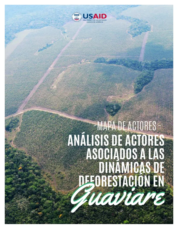
Análisis de actores asociados a las dinámicas de deforestación en Guaviare
The department of Guaviare, located in the north of the Colombian Amazon, is characterized by a high level of biodiversity and cultural richness.
2020 · 56 pages
Sign in to readA free account is required to download.
Abstract
The department is home to four municipalities: Miraflores, Calamar, El Retorno, and San José de Guaviare, which cover an area of 5,552,727 hectares, representing 5% of the country's territory. Guaviare is bounded by the departments of Meta and Vichada to the north, Caquetá and Vaupés to the south, Guainía and Vaupés to the east, and Caquetá and Meta to the west. The department's geography, relief, and topography create a warm and humid climate, with a transition between the Orinoquía's periodically humid savannas and the Amazon's equatorial superhumid forest. The region experiences a rainy season from May to August, with the highest precipitation rates, and a dry season from December to February, with the lowest precipitation rates. The average annual temperature is 24°C, with the highest temperatures between January and April and the lowest temperatures between July and August. Guaviare is characterized by a high level of conservation and sustainable management, with 20% of its territory declared as protected areas, including Parques Nacionales Naturales (PNN Serranía de Chiribiquete and RNN Aspectos Territoriales), 26 indigenous reserves, and 5 forest reserves. The department is also home to the Zona de Reserva Campesina de Guaviare, which is a category of land use declared by law. The region's natural and cultural richness is reflected in its 20 indigenous languages, which represent 31% of the country's linguistic heritage. The department's land use is primarily natural, with 86.3% of the area covered by natural vegetation, 7.4% by transformed vegetation, and 6.3% by semi-natural vegetation. The natural vegetation is mainly found in the PNN Serranía de Chiribiquete and the RNN Nukak. The region's conservation efforts are reflected in the presence of various protected areas, including the Zona de Recuperación para la Producción Sur del Distrito de Manejo Integrado Ariari-Guayabero (DMI A-G). The DMI A-G is a strategic area, as it serves as a buffer zone and connectivity corridor between the conservation nuclei of the AMEM (Parques Nacionales Naturales and the PNN Sierra de La Macarena in Meta) and the other elements of the matrix ecological principal of Guaviare (councils, forest reserves, other protected areas, and indigenous reserves). This area is also home to the Zona de Reserva Campesina de Guaviare, which is a category of land use declared by law. The region's conservation efforts are reflected in the presence of various protected areas, including the Zona de Recuperación para la Producción Sur del Distrito de Manejo Integrado Ariari-Guayabero (DMI A-G). The DMI A-G is a strategic area, as it serves as a buffer zone and connectivity corridor between the conservation nuclei of the AMEM (Parques Nacionales Naturales and the PNN Sierra de La Macarena in Meta) and the other elements of the matrix ecological principal of Guaviare (councils, forest reserves, other protected areas, and indigenous reserves). The region's conservation efforts are also reflected in the presence of various protected areas, including the Zona de Reserva Campesina de Guaviare, which is a category of land use declared by law. The department's conservation efforts are reflected in the presence of various protected areas, including the Zona de Recuperación para la Producción Sur del Distrito de Manejo Integrado Ariari-Guayabero (DMI A-G).
Related documents
Documents in this collection
 2020
2020USAID DEC
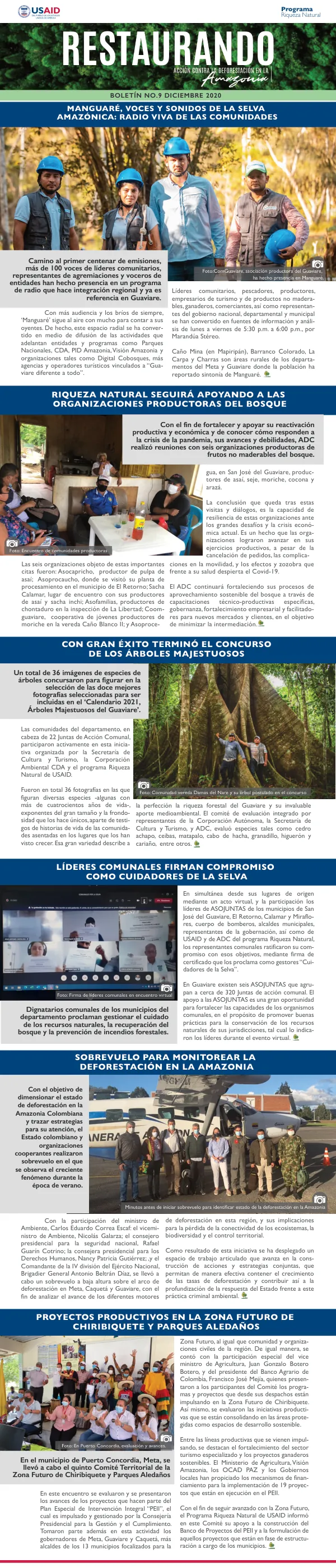
Boletin No.9 Diciembre 2020: Restaurando Acción Contra La Deforestación En La Amazonía
Open record 2015
2015USAID DEC