USAID DEC
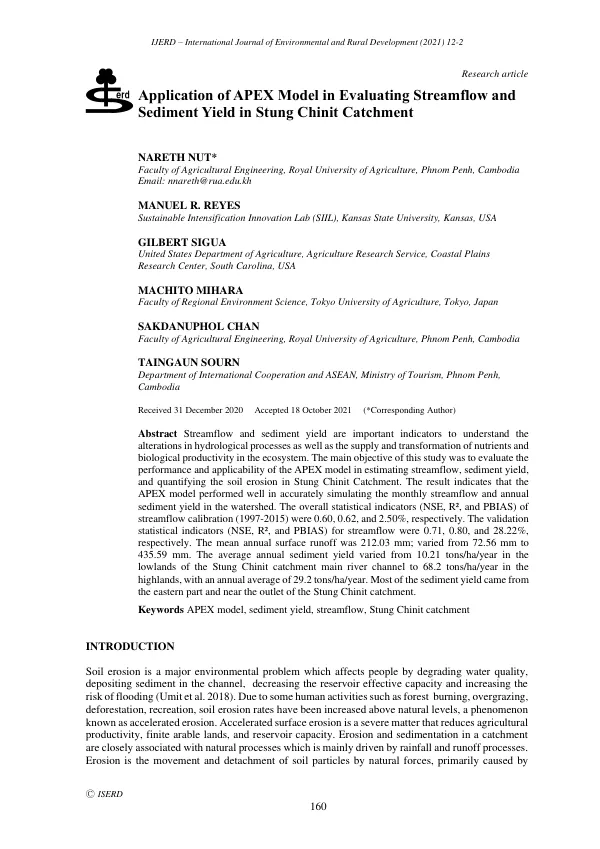
Application of APEX Model in Evaluating Streamflow and Sediment Yield in Stung Chinit Catchment
Sign inHUAZHONG AGRICULTURAL UNIVERSITY
Application of APEX Model in Evaluating Streamflow and Sediment Yield in Stung Chinit Catchment
The Stung Chinit catchment, located in Cambodia, covers an area of approximately 8,236 km2 and is composed of the Stung Chinit and Stung Taing Krasaing Rivers, as well as other small streams that drain from the north.
2021 · 10 pages
Sign in to readA free account is required to download.
Abstract
The mainstream, Stung Chinit, flows 264 km south-westwards to the gentler slopes downstream before discharging into the Tonle Sap Lake. The catchment's annual rainfall ranges from 1200 to 1500 mm, with over 90% of the catchment's annual rainfall received during the wet season, from May to October. The APEX model, an extension of the Environmental Policy Integrated Climate (EPIC) model, was applied to evaluate the performance and applicability of the model in estimating streamflow and sediment yield, as well as identifying soil erosion in the Stung Chinit Catchment. The APEX model simulates watershed processes based on weather data, soil characteristics, topography, vegetation, and management practices. Multiple options are available in the APEX model to estimate evapotranspiration, surface runoff, peak runoff rate, and available soil water capacity to derive hydrology of the system. The APEX model requires input data, including Geographic Information System (GIS) data layers, climatic data, and management practices. The GIS data layers include digital elevation model (DEM), soil, and land use or crop covers. A 30 m DEM was obtained from the United States Geographical Survey (USGS) website, and the land use data was received from the Cambodia National Mekong Committee (CNMC), 2015. A harmonized world soil map prepared by the Food and Agricultural Organization (FAO) with two levels was used for soil database preparation of APEX. The APEX model was set up and divided into three steps. The first step involved processing GIS data layers to delineate the watershed boundary, subareas, and derive watershed characteristics from the Digital Elevation Model (DEM). The land use, soil data, and slope were overlaid and used the dominant land use/soil/slope, while the land use of paddy rice was modified in the management file of APEX based on the schedule of traditional rice cropping system. The dominant land uses in the catchment are evergreen forest (52.94%), paddy rice (26.82%), grassland (6.23%), marsh/swarm (4.56%), shrubland (4.36%), agricultural land (3.6%), and deciduous forest (1.49%). The APEX model was applied to the Stung Chinit catchment, and the results indicate that the model performed well in accurately simulating the monthly streamflow and annual sediment yield in the watershed. The overall statistical indicators (NSE, R², and PBIAS) of streamflow calibration (1997-2015) were 0.60, 0.62, and 2.50%, respectively. The validation statistical indicators (NSE, R², and PBIAS) for streamflow were 0.71, 0.80, and 28.22%, respectively. The mean annual surface runoff was 212.03 mm, varied from 72.56 mm to 435.59 mm. The average annual sediment yield varied from 10.21 tons/ha/year in the lowlands of the Stung Chinit catchment main river channel to 68.2 tons/ha/year in the highlands, with an annual average of 29.2 tons/ha/year. Most of the sediment yield came from the eastern part and near the outlet of the Stung Chinit catchment.
Related documents