USAID DEC
Assessing the tsunami mitigation effectiveness of the planned Banda Aceh Outer Ring Road (BORR), Indonesia
Sign inUNIVERSITAS SYIAH KUALA
Assessing the tsunami mitigation effectiveness of the planned Banda Aceh Outer Ring Road (BORR), Indonesia
The Banda Aceh Outer Ring Road (BORR) is a planned elevated road parallel to the coast of Banda Aceh, Indonesia.
2019 · 14 pages
Sign in to readA free account is required to download.
Abstract
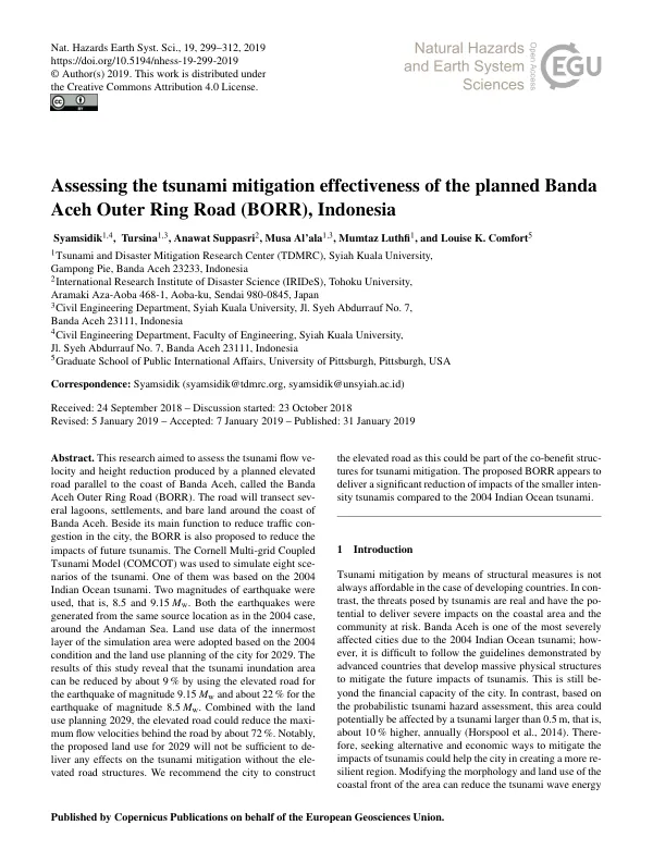
The road is intended to reduce traffic congestion in the city and mitigate the impacts of future tsunamis. The Cornell Multi-grid Coupled Tsunami Model (COMCOT) was used to simulate eight scenarios of the tsunami, including one based on the 2004 Indian Ocean tsunami. Two magnitudes of earthquake were used, 8.5 and 9.15 Mw, both generated from the same source location as in the 2004 case around the Andaman Sea. Land use data of the innermost layer of the simulation area were adopted based on the 2004 condition and the land use planning of the city for 2029. The results of this study reveal that the tsunami inundation area can be reduced by about 9% by using the elevated road for the earthquake of magnitude 9.15 Mw and about 22% for the earthquake of magnitude 8.5 Mw. Combined with the land use planning 2029, the elevated road could reduce the maximum flow velocities behind the road by about 72%. Notably, the proposed land use for 2029 will not be sufficient to deliver any effects on the tsunami mitigation without the elevated road structures. The proposed BORR appears to deliver a significant reduction of impacts of the smaller intensity tsunamis compared to the 2004 Indian Ocean tsunami. The elevated road can function as an inland tsunami defense structure that could stop the tsunami wave or reduce its intensity. The concept of a tsunami multilayered defense system, which includes elevated roads, is being promoted in Japan as a way to mitigate the impacts of tsunamis. Banda Aceh is planning to construct a road transect as a response to the traffic demands of the city, and the proposed BORR is part of a long-term development program that aims to regulate the city planning until 2029. The study area is Banda Aceh, which is situated in the northern part of the island of Sumatra and is the largest city in Aceh Province. The topography of the city is flat with no hilly regions, and there are several coastal lagoons situated in the northern part of the city. The city was severely damaged by the 2004 Indian Ocean tsunami, which caused the deaths of about 90,000 people. Prior to the 2004 tsunami, no knowledge was available regarding the potential tsunami that resulted in zero prevention of the hazard. During the rehabilitation and reconstruction process, the city faced serious challenges in relocating its people to a safer area, resulting in several houses being built in the coastal area. The proposed BORR is intended to address the gap in tsunami mitigation infrastructure in Banda Aceh. The elevated road structure parallel to the coastline of Banda Aceh was evaluated using the COMCOT model, which is a two-dimensional horizontal model. The evaluation of the performance of the elevated road to reduce the tsunami wave energy may contribute to a better city planning of Banda Aceh in a long-term development program. The results of this study suggest that the elevated road could be an effective way to mitigate the impacts of tsunamis in Banda Aceh, and it is recommended that the city construct the elevated road as part of the co-benefit structures for tsunami mitigation.
Related documents