USAID DEC
Best Practices for Protected Area Demarcation in West Africa
Boundary demarcation is a crucial step in establishing and effectively managing protected areas (PAs).
2020 · 9 pages
Sign in to readA free account is required to download.
Abstract
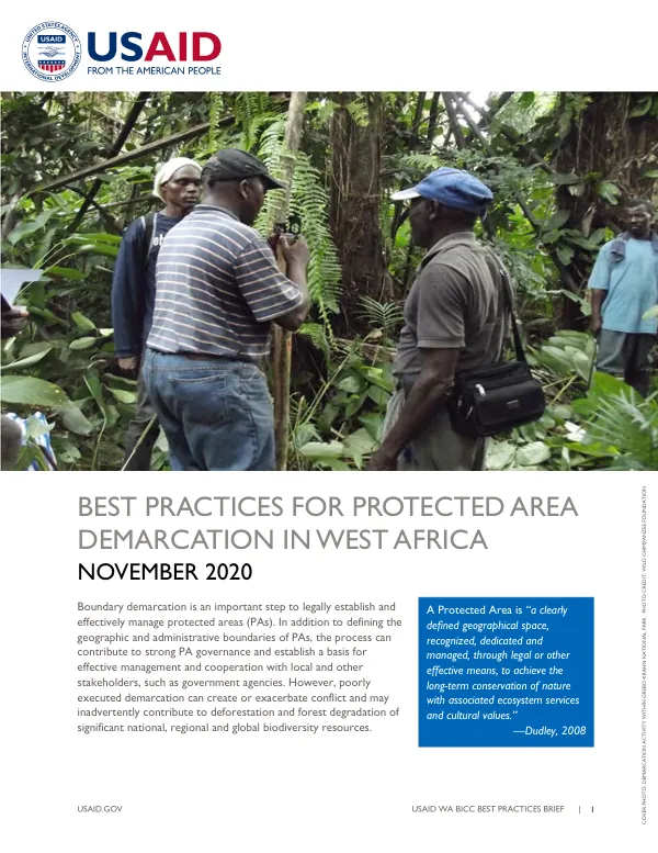
This process not only defines the geographic and administrative boundaries of PAs but also contributes to strong PA governance and cooperation with local and other stakeholders. However, poorly executed demarcation can create or exacerbate conflict and contribute to deforestation and forest degradation. Protected areas are defined as clearly recognized, dedicated, and managed geographical spaces to achieve the long-term conservation of nature and associated ecosystem services and cultural values. In West Africa, there are close to 2,000 nationally designated or proposed PAs, covering around 10% of the sub-region's land area. The expansion of PAs has occurred during a time of rapid deforestation in the region, often catalyzed by the establishment of a PA when local needs and resource uses were not taken into account. Community consultations prior to PA establishment are essential to mitigate conflicts and promote effective PA management and governance. Local communities have often lived in and around existing or proposed PAs for generations and are dependent on the resources these lands provide. The Western notion of land ownership, where the State is the formal landowner, is not reflected in West African customary land ownership systems. When biodiversity is the principal driver for PA establishment, excluding local community participation can lead to conflicts and problems such as dislocation, violence, increased poaching, and poverty. A hard-won lesson learned is that engaging local communities, stakeholders, and traditional landowners at the outset of any PA process is crucial. This can foster partnership and stewardship from the beginning and may be necessary as part of free, prior, and informed consent requirements under certain international processes. However, the means by which this is carried out can vary, and there is no guarantee of success absent dedicated resources to effectively manage a PA once it is established. Best practices for community consultations prior to PA establishment include informing communities about new legislation, identifying key stakeholders early, convening meetings to discuss implications and responses, and conducting outreach and awareness raising. Participatory mapping of proposed PAs is also critical, as it allows communities to express their preferences spatially and contribute their ideas and knowledge to authorities. This process enhances community buy-in and can identify and mitigate potential conflicts related to community disenfranchisement during PA establishment. In Liberia, the Sapo National Park is an example of a poorly executed demarcation process that led to conflict and continued encroachment into the park. In contrast, community consultations in Grebo-Krahn National Park were successful in engaging local communities and stakeholders, leading to a more effective PA management and governance process. Participatory mapping of proposed PAs involves engaging multiple stakeholders, including local communities, traditional leaders, government representatives, civil society organizations, and the private sector. This process requires effort to include stakeholders whose interest in the forest is great but whose political voice may be limited, such as women who collect medicinal plants. By engaging multiple stakeholders, participatory mapping can capture a diversity of perspectives and identify potential conflicts early in the process. In conclusion, boundary demarcation is a critical step in establishing and effectively managing PAs in West Africa. Community consultations prior to PA establishment and participatory mapping of proposed PAs are essential best practices that can mitigate conflicts and promote effective PA management and governance. By engaging local communities, stakeholders, and traditional landowners, and by capturing a diversity of perspectives through participatory mapping, PAs can be established and managed in a way that balances biodiversity conservation with local livelihoods and needs.