ICF
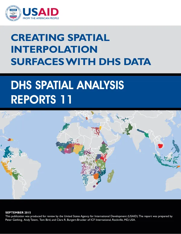
Creating Spatial Interpolation Surfaces with DHS Data
The DHS Spatial Analysis Reports No.
2015 · 104 pages
Sign in to readA free account is required to download.
Abstract
11, titled "Creating Spatial Interpolation Surfaces with DHS Data," was published in September 2015. The report was prepared by Peter Gething, Andy Tatem, Tom Bird, and Clara R. Burgert-Brucker of ICF International, Rockville, MD, USA, with support from the United States Agency for International Development (USAID) through The DHS Program. The study aimed to explore the potential of Bayesian geostatistics for interpolating DHS survey data, investigate the impact of DHS cluster displacement on the production of interpolated surfaces, and examine the potential for novel methodologies and covariates to address the challenge of mapping within urban areas. The report focuses on the selection of DHS indicators and exemplar countries, national-level geostatistical mapping, the effects of cluster centroid displacement, and the potential of high-resolution urban mapping. The report begins by outlining the objectives of the study, which include exploring the potential of Bayesian geostatistics for interpolating DHS survey data, investigating the impact of DHS cluster displacement on the production of interpolated surfaces, and examining the potential for novel methodologies and covariates to address the challenge of mapping within urban areas. The authors then describe the selection of DHS indicators and exemplar countries, which included indicators such as access to HIV testing in women, stunting in children, anemia prevalence in children, and access to improved sanitation. The report then presents the results of national-level geostatistical mapping, which included the creation of interpolated surfaces for the selected indicators. The authors found that the interpolated surfaces were able to capture the spatial patterns of the indicators, with the highest levels of access to HIV testing in women and the lowest levels of stunting in children observed in urban areas. The report also examines the effects of cluster centroid displacement on the production of interpolated surfaces. The authors found that the displacement of cluster centroids had a significant impact on the statistical properties of the data, with the displaced data showing a higher level of variability than the original data. However, the authors found that the interpolated surfaces were able to capture the spatial patterns of the indicators, even when the cluster centroids were displaced. The report also explores the potential of high-resolution urban mapping, which included the use of high-resolution urban covariates and the examination of the effects of displacement on linear models in urban areas. The authors found that the high-resolution urban covariates were able to capture the spatial patterns of the indicators in urban areas, with the highest levels of access to HIV testing in women and the lowest levels of stunting in children observed in areas with high levels of urbanization. The report concludes by discussing the implications of the findings for the use of DHS data in spatial analysis and the potential for novel methodologies and covariates to address the challenge of mapping within urban areas. The authors recommend further improvements to the methodology and the development of use-cases for predictive maps.


![Bangladesh Health Facility Survey 2017 [SPA28]](https://covers.devme.ai/gen/144484.webp)