FOOD AND AGRICULTURAL ORGANIZATION
Customary and Statutory Tenure in Africa
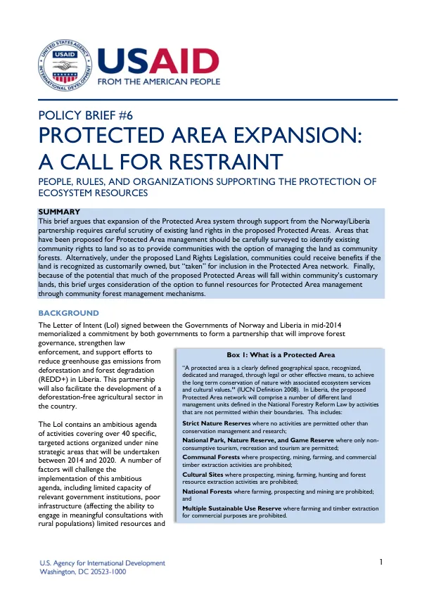
The proposed Protected Area network in Liberia is a clearly defined geographical space dedicated to the long-term conservation of nature and associated ecosystem services and cultural values.
2016 · 5 pages
Sign in to readA free account is required to download.
Abstract
The network will comprise different land management units, including Strict Nature Reserves, National Parks, Nature Reserves, Game Reserves, Communal Forests, Cultural Sites, National Forests, and Multiple Sustainable Use Reserves. These areas will be managed through legal or other effective means to achieve conservation goals. The expansion of the Protected Area system is part of the Norway/Liberia partnership, which aims to improve forest governance, strengthen law enforcement, and reduce greenhouse gas emissions from deforestation and forest degradation. The partnership will also facilitate the development of a deforestation-free agricultural sector in Liberia. The proposed expansion involves placing 30% of Liberia's forest estate under the Protected Area network, which is a goal identified in the 2003 National Biodiversity and Strategic Action Plan and formalized in the 2006 National Forestry Reform Law. However, the expansion of the Protected Area network must be examined within the existing and evolving legal context. The recent introduction of the Community Rights Policy and proposed implementing legislation, the Land Rights Act, seeks to recognize customary ownership rights on a par with private ownership. This policy and legislation will provide communities with a means to secure ownership over their customary lands, including forests. The proposed Land Rights Act is not retroactive and will not immediately apply to more than 23% of Liberia's land base that is currently under some type of concession management. The current land ownership rights and claims to Liberia's forestlands are not well understood, and a move to place so much forestland under government ownership as Protected Areas has the potential to spark conflicts between communities and government. The lack of information about land classification, ownership claims, and management rights is a significant challenge, as this information is currently housed at different ministries and agencies and is not consistently shared or coordinated. The official forest area in Liberia is approximately 4.4 million hectares, but this figure may be an overestimate due to deforestation rates and the definition of forests used in the study. Satellite imagery analysis suggests that forest cover has declined from more than 3.6 million hectares in 2000 to less than 3.5 million hectares in 2012. This disparity highlights the lack of information about Liberia's forest resources, including the most basic information regarding land classification, ownership claims, and management rights. The 30% Protected Area goal represents a significant area of land, equivalent to 1.31 million hectares or 919,275 hectares, depending on the definition of forests used. This area includes existing agricultural concessions, such as the Golden Veroleum Liberia oil palm concession, which covers more than 240,000 hectares in the southern part of the country. There is also overlap between proposed Protected Areas and community forests, as well as between community forests and agricultural concessions. The 2007 National Forest Management Strategy explicitly states that the Forest Development Authority will not permit land use activities without first establishing that there are no prior land tenure claims in the area. Since then, most pre-existing national forests have been organized into concession areas. The underlying assumption is that land use activities will be carried out in a way that respects existing land tenure claims and customary rights.
Related documents