USAID DEC
Final Report: Local Empowerment for Government Inclusion and Transparency (LEGIT) Project in Gompa City
Sign inUSAID
Final Report: Local Empowerment for Government Inclusion and Transparency (LEGIT) Project in Gompa City
Gompa City, with an estimated population of 41,106, faced significant challenges due to the lack of an official map demarcating town limits and locations of vital basic services.
2018 · 2 pages
Sign in to readA free account is required to download.
Abstract
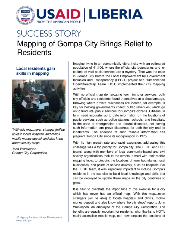
City officials and residents alike struggled to navigate the city, with no clear information on the locations of private businesses, public services, and emergency facilities. This absence of reliable information had plagued Gompa City since its incorporation in 1975, particularly in the face of rapid expansion and high growth rates. The Local Empowerment for Government Inclusion and Transparency (LEGIT) project and the Humanitarian OpenStreetMap Team (HOT) collaborated to address this challenge through city mapping activities. Armed with mobile mapping tools, the teams, along with local community-based and civil society organizations, took to the streets to pinpoint the locations of town boundaries, local businesses, and points of service delivery, such as hospitals. This exercise aimed to build local knowledge and skills that could be deployed to update the maps as the city continued to grow. The resulting official map of Gompa City has been hailed as a significant achievement, providing residents and visitors alike with accurate and up-to-date information on the locations of public services, including hospitals, clinics, and police stations. The map has also facilitated the collection of public revenues, which will fund vital public services for Gompa's citizens. According to John Wonkiapeh, an employee of the Gompa City Corporation, the map will enable even strangers to locate essential services and understand the city's boundaries. The LEGIT project's partnership with Gompa City has been instrumental in identifying key areas where public services are lacking and can be improved. The official map will serve as a vital tool in this effort, enabling the city to prioritize its development and service delivery initiatives. The success of this project has also paved the way for similar initiatives in other cities, including Gbarnga and Zwedru, as LEGIT continues to partner with cities and counties in Liberia. The implementation of mobile mapping technology in Gompa City has empowered residents to access and generate information critical to their daily lives. This exercise has not only improved the city's infrastructure and service delivery but has also built local capacity and knowledge, ensuring that Liberian citizens are equipped to navigate and contribute to their cities' development.