DEMOCRACY INTERNATIONAL, INC.
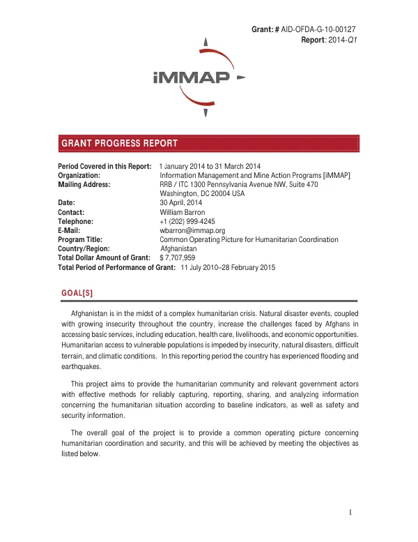
Grant Progress Report: 2014 Q1
The Common Operating Picture for Humanitarian Coordination project in Afghanistan aims to provide the humanitarian community and relevant government actors with effective methods for capturing, reporting, sharing, and analyzing information concerning the humanitarian situation.
2014 · 16 pages
Sign in to readA free account is required to download.
Abstract
The project's overall goal is to provide a common operating picture concerning humanitarian coordination and security. The project objectives are to improve the safety and security of humanitarian field operators, enhance and integrate current databases of humanitarian projects and activities, provide a Common Operating Picture of humanitarian data and baseline indicators of the humanitarian situation, identify hazardous areas and populations-at-risk, and improve currently available datasets. iMMAP has maintained its OASIS system in Afghanistan since 2009, with 79 organizations installed and 148 users trained. However, it is difficult to estimate the number of people directly benefiting from the use of the OASIS system, as it depends on the size of the organization and how OASIS is used to conduct operations management, security analysis, and minefield status analysis. During the reporting period, iMMAP provided 58 new maps, 207 hardcopy maps were distributed, and 44 new maps were posted to the iMMAP website. The project has also engaged with ACBAR to produce a series of Who What Where maps that will capture information from 121 member organizations. The project has provided information management support to the Cluster groups directly involved in relief operations and the inter-cluster coordination mechanism. The Food Security and Agriculture Cluster, Protection Cluster, and Education Sector have benefited from iMMAP support during Q1. Examples of the work undertaken during the reporting period for the clusters include a drought analysis using satellite imagery, an analysis of the new Landcover Map created by FAO and MAIL, and the production of regular flood risk maps. The project has also engaged with new clients, including Democracy International, the French Embassy (Peace Council Project), and the DT3 Education project coordinated by CoAR and funded by the World Bank. Other NGOs and Cluster lead organizations are using OASIS to bring together agency-specific programmatic information with the common operating picture delivered through OASIS. New or updated datasets that were developed and provided to clients via maps and OASIS exclusively during this reporting period include the Landcover Map analysis/comparison, Flood Risk mapping, Security incidents summary, Local (civilian) population targeted in security incidents, Rapid Assessment reporting, Natural disaster IDPs mapping, Common Operating Picture Provincial and National maps, and Selected provincial disaster and assessment mapping. The following new maps were produced and/or published in the reporting period: EROS Snow Water Equivalent – 7 Days forecast 09/01/ to 15/01/2014, SC Areas of Operation for Uruzgan Province, CPAU Peace Councils Map for Nijrab, CPAU Peace Councils Map for Surobi, CPAU Peace Councils Map for Tagab, CPAU Peace Councils Location Map for All Areas of Operation CPAU, Afghanistan: Badakhshan Province – Observed security incidents 2007 – 2013 for all the monitored categories, and Afghanistan: Badakhshan Province – Yawan District – Settlement Identification.
Related documents