UNIVERSITY OF NEBRASKA AT LINCOLN
Innovative soil moisture estimation using cosmic ray neutrons
Soil moisture is an essential hydrological parameter that impacts various applications, including agricultural management, climate and weather applications, flood and drought forecasting, and groundwater recharge.
2018 · 10 pages
Sign in to readA free account is required to download.

Abstract
Currently, there are three methods of estimating soil moisture: ground-based (in-situ) measurements, remote sensing based methods, and land surface models. However, each of these methods has its respective advantages and limitations, constraining their effectiveness for hydrological applications. In-situ measurements of soil moisture are the conventional methods used by several disciplines. These point measurements obtained cannot adequately represent the spatial characteristics of soil moisture and thus limit our understanding of feedbacks to the atmosphere. However, these point measurements play a key role in a variety of large-scale applications and are invaluable as both calibration and validation data. Recently, the cosmic ray probe (CRP) method, which is an innovative in-situ instrument, has been developed and implemented in numerous countries across the globe. The CRP technique obtains the area-averaged soil moisture, at an intermediate scale, by observing and measuring the cosmic ray neutrons above the soil surface. The CRP has not been evaluated in South Africa, thus the aim of this study was to test and evaluate the suitability of the CRP to provide spatial estimates of soil moisture, using the Cathedral Peak Catchment VI as a study area. The Cathedral Peak area is important as it is the 'water towers' of the region, as much of our water is generated in this area. The CRP was set up in Catchment VI, as it is already heavily instrumented, and an added soil moisture instrument would add value to any potential research done in the area. The potential applications of the CRP make it appealing to scientists in various fields, such as agricultural and ecological monitoring, climate science, drought and flood forecasting, as well as slope stability. It should also be noted that the discipline of remote sensing can benefit greatly from this innovative technology by using CRP estimates for both the calibration and validation of sensors and data products, as it overcomes the spatial limitations of conventional in-situ soil moisture estimates. The CRP system consists of neutron counters (moderated and bare tubes); a data logger which measures barometric pressure, humidity, and temperature; a telemetry system with antenna to connect to an iridium satellite; and a battery and solar panel for powering the system. Cosmic ray neutrons originate in space, where they are produced by the blast waves of supernovae and other astrophysical events. These neutrons interact with the atmosphere and are absorbed by the soil, with the rate of absorption being inversely proportional to the soil moisture content. The CRP estimates soil moisture hourly at a shallow measurement depth that ranges between 0.12 m and 0.72 m. The CRP provides area-averaged soil moisture at an intermediate scale of 18 hectares, which bridges the gap between in-situ point measurements and global satellite-based soil moisture estimates. The use of the CRP for soil moisture monitoring provided reliable, accurate, and continuous soil moisture estimates over the catchment area. The wealth of current and potential applications makes the CRP very appealing for scientists and engineers in various fields. The study found that the CRP provided spatial estimates of soil moisture, which correlated well with the in-situ soil moisture network data set and yielded an R2 value of 0.845. The CRP was found to be a reliable and accurate method for estimating soil moisture, and its use can provide valuable information for hydrological applications. The study highlights the potential of the CRP for monitoring soil moisture in various environments, including saline soil, wetlands, and rocky soil.
Related documents
Documents in this collection
 2019
2019USAID DEC
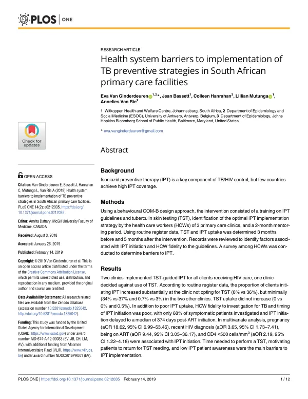
Health system barriers to implementation of TB preventive strategies in South African primary care facilities
Open record 2021
2021USAID DEC