USAID DEC
Integrated emission inventory and modeling to assess distribution of particulate matter mass and black carbon composition in Southeast Asia
Sign inUSAID DEC
Integrated emission inventory and modeling to assess distribution of particulate matter mass and black carbon composition in Southeast Asia
Southeast Asia, with a large population and fast-growing economy, is a significant contributor to emissions of air pollution and greenhouse gases in Asia.
2018 · 23 pages
Sign in to readA free account is required to download.
Abstract
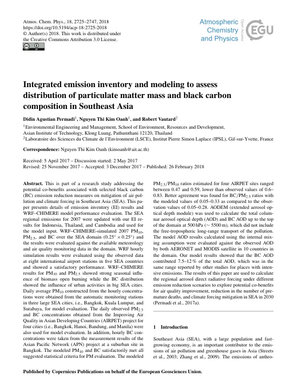
The region's emissions of anthropogenic aerosol are expected to rise in the near future due to increased energy demand and rapid industrialization. High levels of fine particulate matter (PM2.5) are observed in many developing Asian cities, with annual averages often exceeding the World Health Organization's guideline of 10 µgm−3 by many times. Components of PM, such as PM2.5, PM10, black carbon (BC), and organic carbon (OC), have been monitored in some Asian cities, showing considerably high levels. The fine particles and their precursors are involved in long-range transport, causing regional phenomena such as atmospheric brown clouds (ABC) and affecting the climate. Globally, measures aiming to reduce emissions of BC and co-emitting pollutants have been shown to reduce the number of premature deaths and slow down the near-future temperature increase. To comprehensively assess the co-benefits of emission reduction measures on a regional scale, finer temporal and spatial resolutions of the modeling results are required. Several studies have been conducted for various Asian domains using regional climate models with chemistry or chemical transport models with an additional aerosol optical module. However, there are currently no detailed modeling studies conducted for the Southeast Asia domain, especially maritime Southeast Asia, which includes Indonesia with its large biomass open burning emissions. A reasonably accurate regional emission inventory (EI) database should be prepared to generate input data for regional modeling studies. The EI database should be updated to include the latest activity data and emission factors. The biomass open burning categories considered in this study included crop residue open burning and forest fires. The CROB emissions for Thailand, Indonesia, and Cambodia were estimated from crop production statistics, residue to crop ratio, dry matter to crop residue ratio, fraction of biomass burned in the field, combustion efficiency, and emission factors. The emissions from major anthropogenic sources in Indonesia, Thailand, and Cambodia were developed following the EI framework given in the Atmospheric Brown Cloud Emission Inventory Manual (ABC EIM) using the activity data summarized in Table 1. A detailed EI methodology for Indonesia was presented in Permadi et al. (2017b). The biomass OB categories considered in this study included crop residue open burning (CROB) and forest fires (aboveground forest fires and peatland fires). The CROB emissions for Thailand for 2007 were taken from Kanabkaew and Kim Oanh (2011), and both CROB and aboveground forest fire emissions for Indonesia were from Permadi and Kim Oanh (2013), also for 2007. The Weather Research and Forecasting (WRF) model was used to generate meteorological fields for the Southeast Asia domain. The CHIMERE model was used to simulate three-dimensional aerosol concentrations in the domain using the meteorological fields generated by the WRF model. The model results were evaluated using available ground-based measurements of PM10, PM2.5, and BC in several Southeast Asia cities. The extended aerosol optical depth (AOD) module (AODEM) was applied to calculate the total columnar AOD and BC AOD. The modeled total AOD was evaluated using the observed AOD from both ground-based Aerosol Robotic Network (AERONET) and the Moderate Resolution Imaging Spectroradiometer (MODIS) satellite product.