USAID DEC
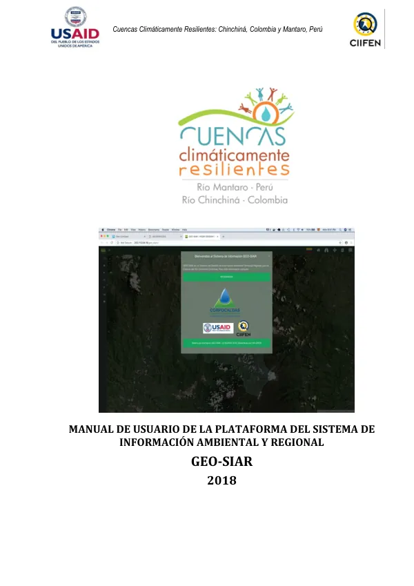
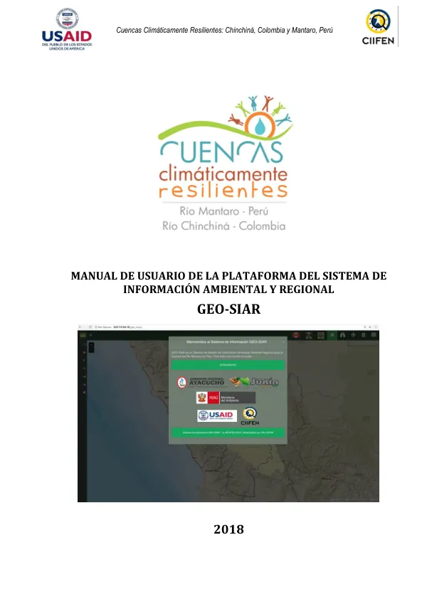
Manual de Usuario de la Plataforma del Sistema de Información Ambiental y Regional GEO-SIAR
Sign inUSAID DEC
Manual de Usuario de la Plataforma del Sistema de Información Ambiental y Regional GEO-SIAR
The Cuencas Climáticamente Resilientes project aims to increase resilience and reduce vulnerability to climate change through the strengthening of knowledge bases for decision-making in policies and local adaptation strategies.
2018 · 48 pages
Sign in to readA free account is required to download.
Abstract
One of the project's main outcomes proposes the incorporation of the Sistema de Información Ambiental Regional (SIAR) as a tool to support territorial management and planning. The SIAR system integrates territorial, environmental, climatic, vulnerability, risk management, and water resources information, which can be consulted in real-time. The SIAR system is a platform that integrates information from various sources, including government institutions, technical and scientific organizations, and other stakeholders. It is designed to support decision-making in the regions of Junín and Ayacucho, and is articulated with the Sistema Nacional de Información Ambiental del Perú (SINIA). The SIAR system is built on open-source code for sustainability and has been presented at national level in Peru. The system has been developed with information from the Mantaro River basin in Peru, focusing on territorial management and integrating information related to climate variability and change, as well as socio-economic and environmental information. The platform is fed with official information connected through a geo-services system (with OGC interoperability standards) and has a user-friendly and interactive interface. The SIAR system allows for the consumption of information from multiple sources and is already in operation. The SIAR system provides a systemic and dynamic view of the territory, allowing decision-makers to access information in real-time. The system is designed to be updated and sustained by the regional governments of Junín and Ayacucho, which are the main institutions responsible for the administration of natural resources and the environment in the Mantaro River basin. The SIAR system is expected to support the implementation of environmental policies and the strengthening of environmental culture in the region. The system has several components, including a visualizer component that allows users to visualize and interact with the information, and a component that provides information on the project's objectives, methodology, and results. The system also includes a section on vulnerability and risk management, which provides information on the potential impacts of climate change and other hazards on the region. The SIAR system is a tool that can support decision-making in the regions of Junín and Ayacucho, and can be used to develop strategies for adapting to climate change and reducing vulnerability to its impacts. The system is expected to be an important tool for supporting the implementation of environmental policies and the strengthening of environmental culture in the region. The project's main objective is to increase resilience and reduce vulnerability to climate change through the strengthening of knowledge bases for decision-making in policies and local adaptation strategies. The SIAR system is a key component of this project, providing a platform for integrating and visualizing information related to climate change, vulnerability, and risk management. The SIAR system has several benefits, including the provision of a systemic and dynamic view of the territory, the ability to consume information from multiple sources, and the support for decision-making in the regions of Junín and Ayacucho. The system is expected to be an important tool for supporting the implementation of environmental policies and the strengthening of environmental culture in the region.