USAID DEC
Cuencas Climáticamente Resilientes: Chinchiná, Colombia y Mantaro, Perú
The Cuencas Climáticamente Resilientes project aims to increase resilience and reduce vulnerability to climate change in the Chinchiná, Colombia, and Mantaro, Perú, watersheds.
2018 · 41 pages
Sign in to readA free account is required to download.
Abstract
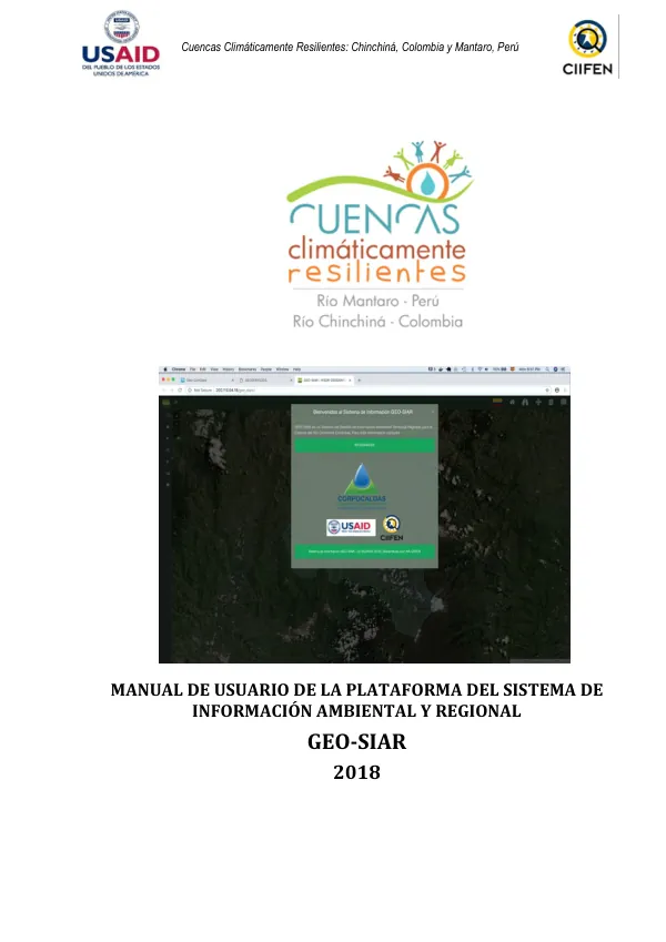
The project's primary objective is to strengthen the knowledge base for decision-making in policies and implement local adaptation strategies to climate change. One of the project's main outcomes proposes incorporating the Sistema de Información Ambiental Regional (SIAR) as a tool to support territorial management and planning. The SIAR system has been developed with information from the Chinchiná watershed in Colombia, focusing on territorial management and integrating information related to climate variability and change, as well as socio-economic and environmental data, stored in a geographic database. The platform is fed with official information connected through a geo-services system (with OGC interoperability standards) and has a user-friendly and interactive interface. The SIAR allows for the consumption of information from multiple sources and is already in full operation. The SIAR enables the interoperability of geographic databases and provides decision-makers with a systemic and dynamic view of the territory. The entire platform is developed using open-source code, ensuring its sustainability, reducing costs associated with commercial software, and making it accessible to municipalities and small local governments. The SIAR's potential lies in its development using open-source software, making it sustainable, replicable, and updatable by local governments and technical-scientific institutions. The platform also allows for the integration of information from various sources, including other institutions with OGC interoperability standards. The SIAR has been designed to support territorial management and planning, incorporating information on climate variability and change, socio-economic, and environmental data. The platform's user-friendly interface enables users to visualize and interact with the information, facilitating decision-making and policy development. The SIAR's functionality includes a visualizer component, which allows users to analyze information in a geographic context. The visualizer includes tools for working with layers, such as adding, removing, and managing layers, as well as functions for deploying layers. The platform also includes various layers, such as cartography, thematic maps, vulnerability maps, climate monitoring, and satellite images. The SIAR's implementation in the Chinchiná watershed aims to support the development of activities and technical operations in the Caldas department. The project involved the participation of various stakeholders, including local authorities, technical institutions, and users, who provided input on the type of information to be integrated into the SIAR. The platform will be updated and sustained by the Corporación Autónoma Regional De Caldas (CORPOCALDAS), the department's environmental authority. The SIAR's development and implementation are expected to contribute to the reduction of vulnerability to climate change in the Chinchiná watershed, supporting the development of adaptation strategies and informing decision-making processes. The platform's interoperability and open-source nature make it a valuable tool for territorial management and planning in the region.