USAID DEC
Predicting Livelihood Indicators from Community-Generated Street-Level Imagery
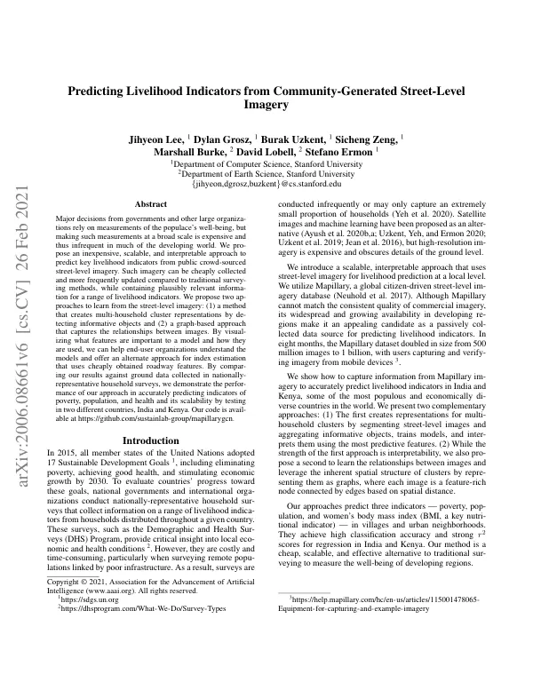
The proposed approach utilizes Mapillary, a global citizen-driven street-level imagery database, to predict key livelihood indicators from public crowd-sourced street-level imagery.
2021 · 9 pages
Sign in to readA free account is required to download.
Abstract
This approach is inexpensive, scalable, and interpretable, and can be used to accurately predict indicators of poverty, population, and health in developing regions. The method creates multi-household cluster representations by detecting informative objects and trains models to interpret them using the most predictive features. The approach is tested in two different countries, India and Kenya, and achieves high classification accuracy and strong r2 scores for regression. The method is a cheap, scalable, and effective alternative to traditional surveying to measure the well-being of developing regions. The use of street-level imagery provides greater detail and local information compared to remote-sensing imagery, and can be used to capture information from Mapillary imagery to accurately predict livelihood indicators. The proposed approach is compared to existing methods that use remote-sensing imagery and street-level imagery to predict social or health outcomes. The results show that the proposed approach can scale across countries and can be used to make predictions at a local level. The use of crowdsourced imagery, such as Mapillary, provides a cheap and scalable alternative to traditional surveying methods, and can be used to make predictions on geospatially located clusters. The approach is specialized to a dataset of street-level imagery and cluster-level labels of indicators in India and Kenya, and achieves high classification accuracy and strong r2 scores for regression.
Related documents