THE NATURE CONSERVANCY
Quarterly Report No. 5 (October-December 2014)
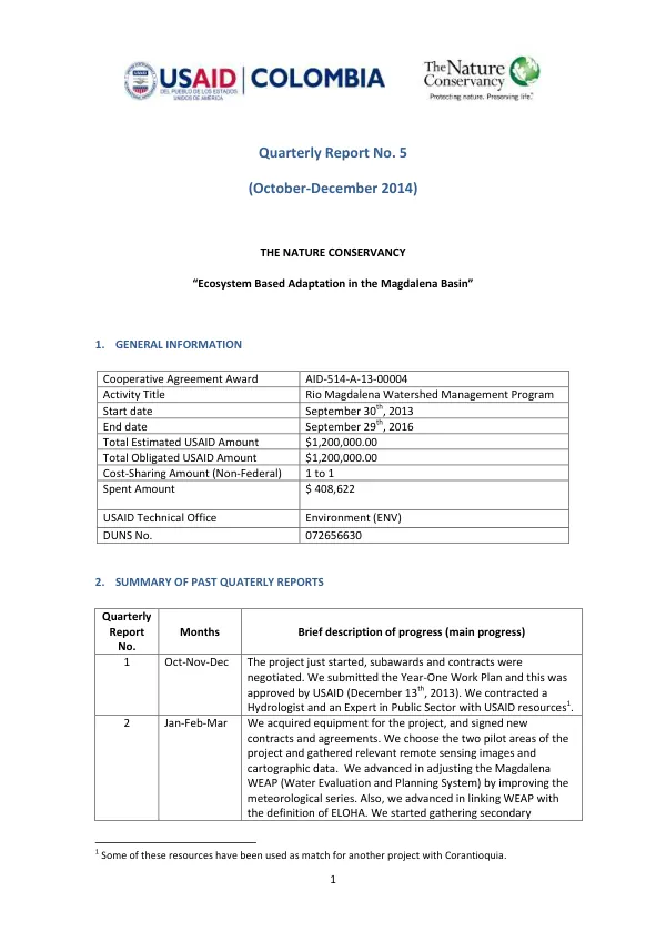
The Rio Magdalena Watershed Management Program is a cooperative agreement between The Nature Conservancy (TNC) and the United States Agency for International Development (USAID).
2014 · 29 pages
Sign in to readA free account is required to download.
Abstract
The program aims to promote ecosystem-based adaptation in the Magdalena Basin, with a focus on improving water management and reducing the impacts of climate change. The program began on September 30, 2013, and is set to end on September 29, 2016, with a total estimated USAID amount of $1,200,000. The program's progress is summarized in the quarterly reports, which provide an overview of the activities conducted during each quarter. The first quarter report (October-November-December 2013) notes that the project had just started, with subawards and contracts being negotiated. The Year-One Work Plan was submitted and approved by USAID, and a hydrologist and an expert in public sector management were contracted using USAID resources. During the second quarter (January-February-March 2014), the program acquired equipment and signed new contracts and agreements. The two pilot areas of the project were chosen, and remote sensing images and cartographic data were gathered. The Magdalena WEAP model was adjusted and improved, and the ELOHA model was linked to WEAP. The program also held two workshops with basin stakeholders to discuss integrated water management and coordination. In the third quarter (April-May-June 2014), the program conducted a field trip to the pilot areas and advanced in land cover classification and multi-temporal analysis of water bodies. The Magdalena WEAP model was further adjusted and calibrated, including climate variability and change with the help of NCAR experts. The program also advanced in improving floodplains routines and linking ELOHA-WEAP. During the fourth quarter (July-August-September 2014), the program finished the first year of the project and finalized the first version of the Portfolio downscaled in the pilot areas, with a special emphasis on freshwater and terrestrial connectivity. The 14.6 version of the WEAP models was finished, including dynamic integration among them and others. The guidelines for integrated management of floodplains and fisheries were finished with the support of partners. The second year of the project started in the current quarter, with the submission and approval of the Year-Two Work Plan. The program closed some activities of the first year and began to develop Terms of References for contracting the support required to achieve the work plan activities. The Hydrologist was hired as part of the staff, and some equipment was acquired to advance in the activities. The program also signed an agreement with Corantioquia related to the Activity 1.4 and contracted Fundación HTM and Fundación Biodiversa to give support with the Activity 1.4. The program's progress in the current quarter is focused on Activity 1.1, which involves updating and downscaling the Freshwater Conservation Portfolio for lowland areas. The program acquired RapidEye satellite imagery and defined an accurate interpretation of 1:25,000 to downscale the Freshwater Conservation Portfolio in the pilot areas. The portfolio downscaling focused on freshwater and terrestrial connectivity, and the program analyzed freshwater connectivity using multi-temporal analysis of flood pulses. The program also analyzed terrestrial connectivity using the LULC map and the GUIDOS Toolbox. The program continued the development of the Water Evaluation and Planning System Tool of the Magdalena River Basin, with recent changes including integration of sub-models of different basin areas and scales, improvements in calibration and validation of hydrological and water demand components, and development of land use/land cover reference scenarios. The current version of the tool represents the basin scale using four main models: Magdalena-Cauca, Depresión Momposina, Porce-Nechí, and Alto Magdalena.