USAID DEC
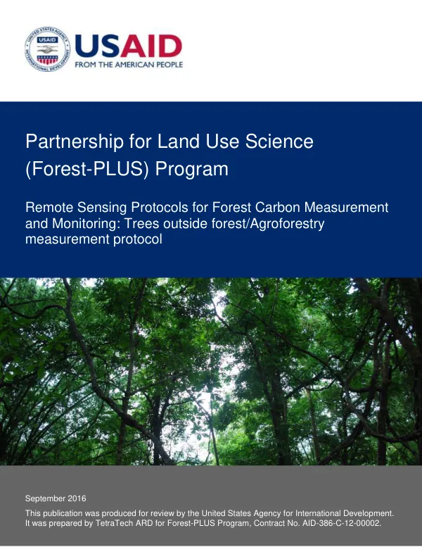
Remote Sensing Protocols for Forest Carbon Measurement and Monitoring: Trees outside forest/Agroforestry measurement protocol
Sign inMICHIGAN STATE UNIVERSITY FOUNDATION
Remote Sensing Protocols for Forest Carbon Measurement and Monitoring: Trees outside forest/Agroforestry measurement protocol
The Forest-PLUS Program is a partnership for land use science that aims to support forest carbon measurement and monitoring.
2016 · 15 pages
Sign in to readA free account is required to download.
Abstract
The program is led by Michigan State University, in collaboration with the Indian Institute of Forest Management and other partners. The program's remote sensing protocols are designed to support forest carbon measurement, monitoring, and reporting at the Tier 3 level. The five remote sensing protocols developed by the Forest-PLUS Program include protocols for deforestation and degradation baseline and ex ante, deforestation and degradation monitoring, enhancement baseline and ex ante, enhancement monitoring, and trees outside forest/agroforestry monitoring. Each protocol is designed to provide a comprehensive framework for measuring and monitoring carbon stock changes in forests and agroforestry systems. The protocol for measuring carbon in trees outside of forest (ToF) and agroforestry systems is a critical component of the Forest-PLUS Program. This protocol defines the data, analyses, reporting, and documentation required to measure carbon in ToF and agroforestry systems. The protocol follows procedures and methods used by the IPCC, Winrock International/USAID, US Forest Service, and Michigan State University Carbon Benefits Protocols for the Global Environment Facility. The protocol for measuring carbon in ToF and agroforestry systems involves several key steps, including defining project boundaries, stratifying the project area, developing or refining existing allometry, mapping tree canopy area, and computing carbon stocks. The protocol also references tools within the Forest-PLUS Data Management System (DMS) toolkit that support specific protocol task areas. The Forest-PLUS Program's remote sensing protocols are designed to provide a comprehensive framework for measuring and monitoring forest carbon stock changes. The protocols are based on the latest scientific research and are designed to support forest carbon measurement, monitoring, and reporting at the Tier 3 level. The protocols are also designed to be flexible and adaptable to different forest types and management practices. The Forest-PLUS Program's remote sensing protocols have several key benefits, including improved accuracy and precision in forest carbon measurement and monitoring, enhanced decision-making and policy development, and increased transparency and accountability in forest carbon reporting. The protocols also provide a framework for integrating forest carbon measurement and monitoring into national and international forest management and conservation efforts.
Related documents