USAID DEC
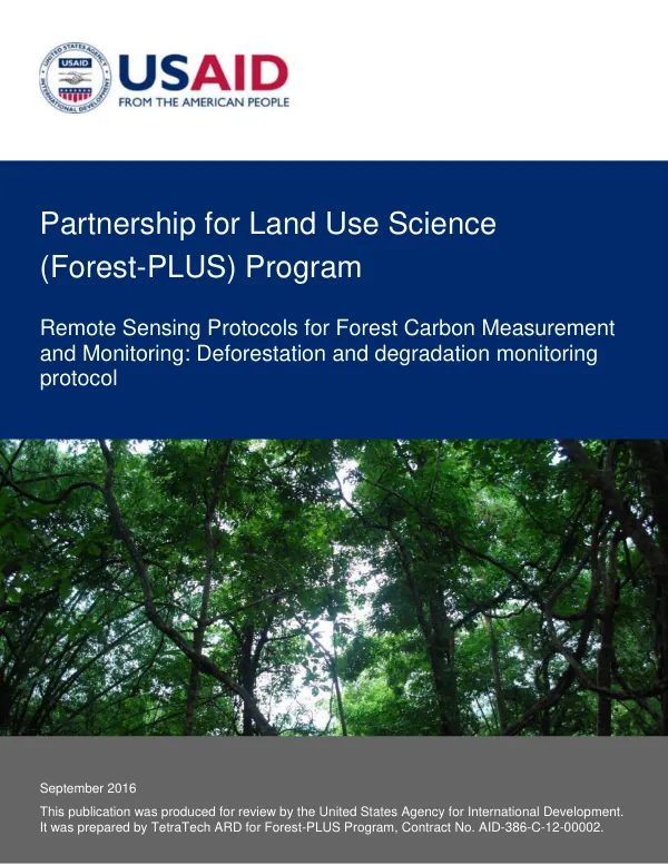
Remote Sensing Protocols for Forest Carbon Measurement and Monitoring: Deforestation and degradation monitoring protocol
Sign inMICHIGAN STATE UNIVERSITY FOUNDATION
Remote Sensing Protocols for Forest Carbon Measurement and Monitoring: Deforestation and degradation monitoring protocol
The Forest-PLUS Program is a partnership for land use science that aims to develop and implement remote sensing protocols for forest carbon measurement and monitoring.
2016 · 18 pages
Sign in to readA free account is required to download.
Abstract
The program is led by Michigan State University, in collaboration with the United States Agency for International Development (USAID) and other international partners. The program has developed five remote sensing protocols to support forest carbon measurement, monitoring, and reporting at the Tier 3 level. These protocols include deforestation and degradation baseline and ex ante protocol, deforestation and degradation monitoring protocol, enhancement baseline and ex ante protocol, enhancement monitoring protocol, and trees outside forest/agroforestry monitoring protocol. The deforestation and degradation monitoring protocol is one of the five protocols developed by the Forest-PLUS Program. This protocol defines the data, analyses, reporting, and documentation required for monitoring carbon emissions from deforestation and forest degradation. The protocol follows standard procedures used by the Intergovernmental Panel on Climate Change (IPCC), Winrock International/USAID, US Forest Service, and Michigan State University Carbon Benefits Protocols for the Global Environment Facility. The protocol references various documents as sources for its methods, including the IPCC 2003 Good Practice Guidance for Land Use, Land Use Change and Forestry, IPCC 2006 IPCC Guidelines for National Greenhouse Gas Inventories, Volume 4, AFoLU, and other publications. The protocol also utilizes tools within the Forest-PLUS Data Management System (DMS) toolkit to support specific protocol task areas. The deforestation and degradation monitoring protocol involves several steps, including defining project boundary, project stratification, sample plot design, activity data, emission factors, monitoring activity data, and reporting emissions. The protocol also provides definitions for key terms, such as deforestation, forest degradation, and forest enhancement. The Forest-PLUS Program aims to improve the estimation of greenhouse gas (GHG) emissions and removals beyond what is possible with Tier 1 or 2 approaches. The program's remote sensing protocols are designed to support forest carbon measurement, monitoring, and reporting at the Tier 3 level, which involves advanced systems using measurements and/or modeling. The program's protocols are intended to be used by countries with limited data resources to estimate emissions and removals from forest carbon sources. The protocols are also designed to be used by countries with more advanced data resources to improve the accuracy of their forest carbon estimates. The Forest-PLUS Program's remote sensing protocols have the potential to contribute to the development of more accurate and reliable forest carbon estimates, which are essential for effective climate change mitigation and adaptation efforts. The program's protocols can also support the development of more effective forest conservation and management strategies, which can help to reduce deforestation and forest degradation and promote sustainable forest management practices.
Related documents