USAID DEC
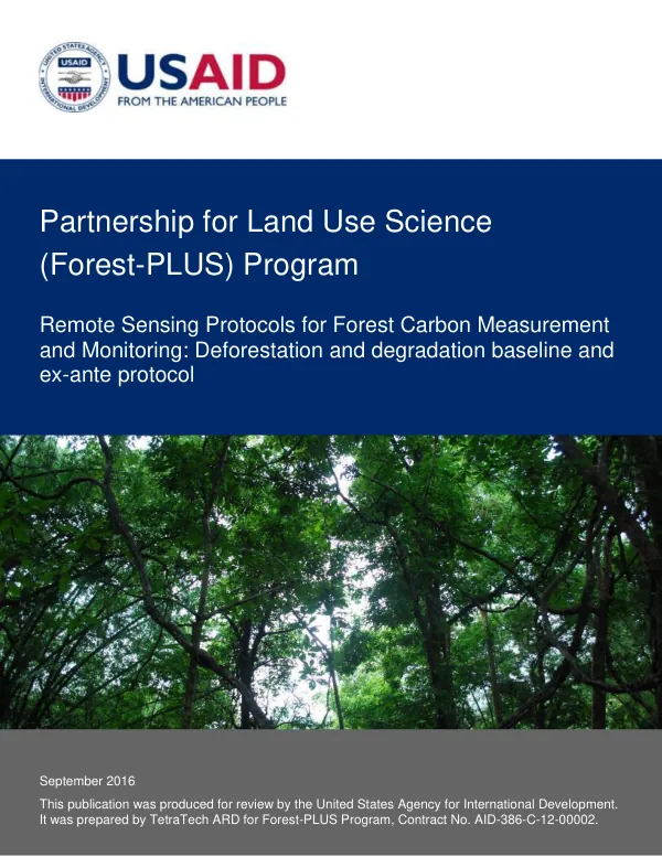
Remote Sensing Protocols for Forest Carbon Measurement and Monitoring: Deforestation and degradation baseline and ex-ante protocol
Sign inMICHIGAN STATE UNIVERSITY FOUNDATION
Remote Sensing Protocols for Forest Carbon Measurement and Monitoring: Deforestation and degradation baseline and ex-ante protocol
The Forest-PLUS Program is a partnership for land use science that aims to develop and implement remote sensing protocols for forest carbon measurement and monitoring.
2016 · 16 pages
Sign in to readA free account is required to download.
Abstract
The program is led by Michigan State University, in collaboration with the Indian Institute of Forest Management and other partners. The program's primary objective is to support forest carbon measurement, monitoring, and reporting at the Tier 3 level, which involves advanced systems using measurements and/or modeling to estimate greenhouse gas emissions and removals. The program has developed five remote sensing protocols, which are designed to support forest carbon measurement, monitoring, and reporting. The first two protocols focus on emissions from deforestation and forest degradation, while the third and fourth protocols focus on carbon sequestration in forests from enhancement. The fifth protocol is on trees outside of forests (ToF) and agroforestry. Each protocol provides a series of steps and guidelines for using remotely sensed data and the Forest-PLUS RS Models to estimate carbon stock changes. The Deforestation and Degradation Baseline and Ex Ante Protocol is one of the five protocols developed by the Forest-PLUS Program. This protocol defines the data, analyses, reporting, and documentation required to estimate a baseline reference of carbon emissions from deforestation and forest degradation. The protocol references tools within the Forest-PLUS Data Management System (DMS) toolkit that support specific protocol task areas. The protocol follows standard procedures and methods used by the IPCC, Winrock International / USAID, US. Forest Service, and Michigan State University Carbon Benefits Protocols for the Global Environment Facility. The protocol involves several steps, including defining the project boundary, stratifying the project area, designing sample plots, collecting activity data, and estimating emission factors. The protocol also requires defining the historical period of analysis and estimating projected baseline emissions. The protocol provides guidelines for using remotely sensed data and the Forest-PLUS RS Models to estimate carbon stock changes. The Forest-PLUS Program's remote sensing protocols are designed to support forest carbon measurement, monitoring, and reporting at the Tier 3 level. The protocols provide a framework for using advanced systems using measurements and/or modeling to estimate greenhouse gas emissions and removals. The protocols are intended to support the development of jurisdictional-level accounting frameworks that enhance environmental integrity by ensuring all project and other reducing emissions from deforestation and degradation activities in a given jurisdiction are developed using consistent baselines and crediting approaches. The program's protocols are based on the 2006 IPCC Guidelines for National Greenhouse Gas Inventories, Volume 4, Chapter 2, and other sources, including the Good Practice Guidance for Land Use, Land Use Change and Forestry, and the Measurement Guidelines for the Sequestration of Forest Carbon. The protocols provide a comprehensive framework for estimating carbon stock changes and supporting forest carbon measurement, monitoring, and reporting.
Related documents