USAID DEC
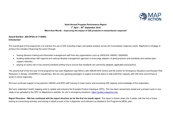
Semi-Annual Program Performance Report 1st April – 30th September 2018 More than Words – Improving the impact of GIS products in humanitarian response
Sign inSAVE THE CHILDREN FUND
Semi-Annual Program Performance Report 1st April – 30th September 2018 More than Words – Improving the impact of GIS products in humanitarian response
The "More than Words – Improving the impact of GIS products in humanitarian response" programme aims to enhance the use of GIS and spatial analysis across the humanitarian response sector.
2018 · 10 pages
Sign in to readA free account is required to download.
Abstract
MapAction's strategy involves influencing the sector through training, building relationships with regional and national disaster management agencies, and participating in key sectoral standard setting fora. MapAction has signed Memoranda of Understanding with the ASEAN AHA Centre and the Centre for Emergency Situations and Disaster Risk Reduction in Almaty, Kazakhstan. The organisation is now working with these partners to build their capacity with GIS tools and formats to assist in future responses. MapAction has continued to support key partners, including UNDAC and WHO, with training of roster teams and increasing GIS capacity and knowledge of first responders. Health mapping work has been undertaken to update and enhance the Example Product Catalogue (EPC). This has resulted in the development of a product cycle, which is now ready to be uploaded to the EPC on MapAction's website for use in emergency situations. The EPC provides a repository of products that can be used in emergency responses, including maps, situation reports, and 3W/4W digital tools. Progress towards the programme's objectives has been made, with 26 humanitarian organisations utilising information management services, a 27% increase from the baseline. Additionally, 43 products made available by information management services have been accessed by clients, exceeding the target of 26. The programme has also contributed to the delivery of several UNDAC Induction and/or Refresher courses, focusing on promoting good data collection and management, and broader information about mapping services in response. MapAction has also supported WHO EMT simulation exercises, which provided a forum for the organisation to discuss and test its health mapping work as part of the EPC development. Further training activity has been in partnership with regional partners, including ASEAN-AHA Centre, where MapAction supported training for the AHA roster teams and the ERAT - Emergency Response & Assessment Team. The programme has also seen the completion of two workshops with CESDRR in Almaty, helping teams to understand mapping priorities and provide basic skills in QGIS. MapAction has deployed to emergency responses, where its products and services have been utilised, including flooding in Nigeria with UNDAC and the response to Sulawesi Earthquake and Tsunami with ASEAN-AHA. MapAction held its annual simulation event in June 2018, which simulated the GIS response to severe flooding in Albia, a fictional state sharing context and datasets with some states in North West Africa. The event was well received, with contributions and support from key partners, OCHA and Save the Children. Arnel Capili, Director of Operations at ASEAN Co-ordinating Centre for Humanitarian Assistance (AHA Centre), took part in the exercise, discussing the various products and tools being created. MapAction has also supported SIMEX, an annual Emergency Response exercise led by the University of Portsmouth and the Hampshire Fire & Rescue Service as part of a wider UN OCHA initiative. The programme has contributed to the development of the GIS response to severe flooding in Albia, and has provided positive feedback from course organisers and participants.
Related documents