MEASURE EVALUATION PRH
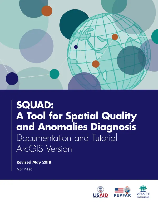
SQUAD: A Tool for Spatial Quality and Anomalies Diagnosis
The Spatial Quality and Anomalies Diagnosis (SQUAD) tool is designed to assess the overall quality of a spatial database.
2017 · 27 pages
Sign in to readA free account is required to download.
Abstract
It can be run by someone with minimal experience using a geographic information system (GIS), and results in a consistent, clear assessment of potential problems with a given spatial database. The tool checks for six anomalies that are based on common errors in point-location data sets, including missing coordinates, truncated coordinates, duplicate coordinates for distinct records, duplicate key attributes, coordinates not located exactly where they would be expected, and coordinates not located anywhere near where expected. The SQUAD tool is stored as a toolbox and associated script that runs in ArcGIS on the data in question. It requires ArcGIS version 10.3 or later, with an advanced license. The facility point file, containing the facility's X and Y coordinates and attributes, and the associated administrative unit file, with names and outlines of districts or regions, must both be stored either as shapefiles or as feature classes in a geodatabase. These files can be stored either in WGS84 (World Geodetic Survey, 1984) unprojected format or in an appropriate Universal Transverse Mercator (UTM) projection. The SQUAD tool requires specific attribute data in the facility point feature class, including a unique ID, separate fields for the X (longitude) and Y (latitude) coordinates of the site, and a site name. The tool can be used to identify potential errors in a location-based data set, such as a master facility list, in a short period. This can help to ensure that the data set is accurate and reliable, and can be used to make informed decisions about public health services. The tool's output can be used to prioritize solutions for improving the data. The anomalies that can be checked are: missing coordinates, truncated coordinates, duplicate coordinates for distinct records, duplicate key attributes, coordinates not located exactly where they would be expected, and coordinates not located anywhere near where expected. The presence of some anomalies may not mean there are errors, but they will merit examination to make sure that they are not errors. The SQUAD tool is a useful tool for ensuring geographic data quality, and can be used to identify potential problems with a given spatial database. It can be run by someone with minimal experience using a GIS, and results in a consistent, clear assessment of potential problems with a given spatial database. The tool's output can be used to prioritize solutions for improving the data, and can help to ensure that the data set is accurate and reliable. The SQUAD tool is designed to be used in conjunction with other data quality assessment tools and methods. It can be used to identify potential errors in a location-based data set, such as a master facility list, in a short period. This can help to ensure that the data set is accurate and reliable, and can be used to make informed decisions about public health services. The tool's output can be used to prioritize solutions for improving the data, and can help to ensure that the data set is accurate and reliable.