NASA
USAID-NASA Infographic: SERVIR
SERVIR is a joint development initiative of NASA and USAID, working in partnership with leading regional organizations around the globe.
2014 · 1 pages
Sign in to readA free account is required to download.
Abstract
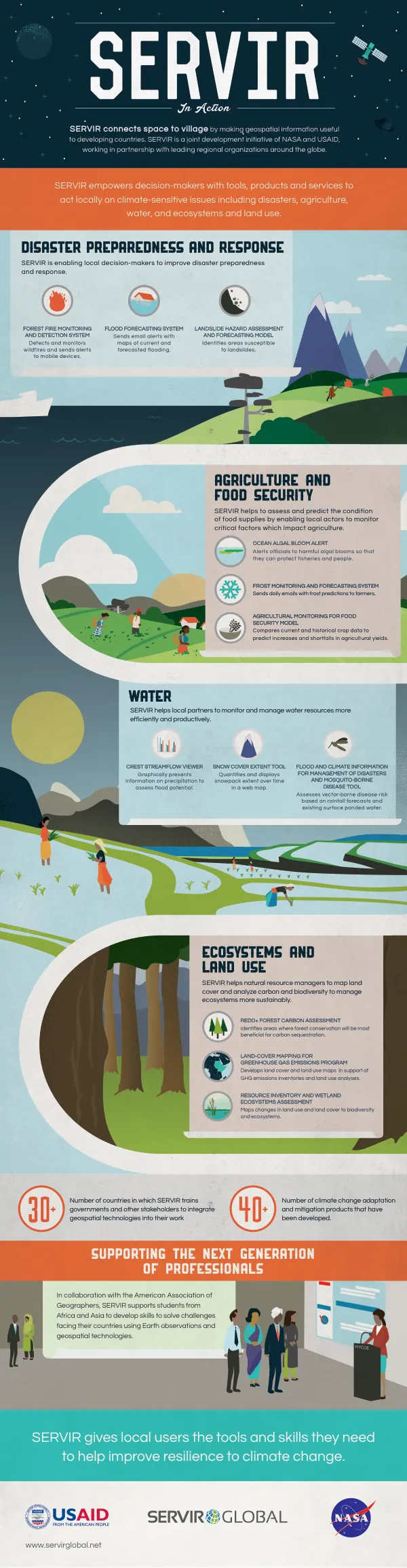
The program supports students from Africa and Asia to develop skills to solve challenges facing their countries using Earth observations and geospatial technologies. In collaboration with the American Association of Geographers, SERVIR empowers local users with the tools and skills they need to improve resilience to climate change. SERVIR enables local decision-makers to improve disaster preparedness and response by providing them with critical information and resources. The program has developed a range of climate change adaptation and mitigation products, including the CREST Streamflow Viewer, which graphically presents information on precipitation to assess flood potential. SERVIR also empowers decision-makers with tools, products, and services to act locally on climate-sensitive issues, including disasters, agriculture, water, and ecosystems and land use. SERVIR helps local partners to monitor and manage water resources more efficiently and productively. The program has developed a range of tools and products, including the Snow Cover Extent Tool, which quantifies and displays snowpack extent over time in a web map. SERVIR also helps natural resource managers to map land cover and analyze carbon and biodiversity to manage ecosystems more sustainably. The program's Resource Inventory and Wetland Ecosystems Assessment maps changes in land use and land cover to biodiversity and ecosystems. SERVIR's tools and products are designed to support a range of applications, including disaster management, agriculture, water resources, and ecosystem management. The program's Flood and Climate Information for Management of Disasters and Mosquito-Borne Disease Tool assesses vector-borne disease risk based on rainfall forecasts and existing surface ponded water. SERVIR's Forest Fire Monitoring and Detection System detects and monitors wildfires and sends alerts to mobile devices. The program's Landslide Hazard Assessment and Forecasting Model identifies areas susceptible to landslides, while its Flood Forecasting System sends email alerts with maps of current and forecasted flooding.