USAID DEC
Application of VIC Hydrological Model for Simulating River Flow of Red River System to Support Water Resource Management
Sign inUSAID DEC
Application of VIC Hydrological Model for Simulating River Flow of Red River System to Support Water Resource Management
The Red River Basin is a large river basin spanning across three countries, including China, Laos, and Vietnam.
2017 · 7 pages
Sign in to readA free account is required to download.
Abstract
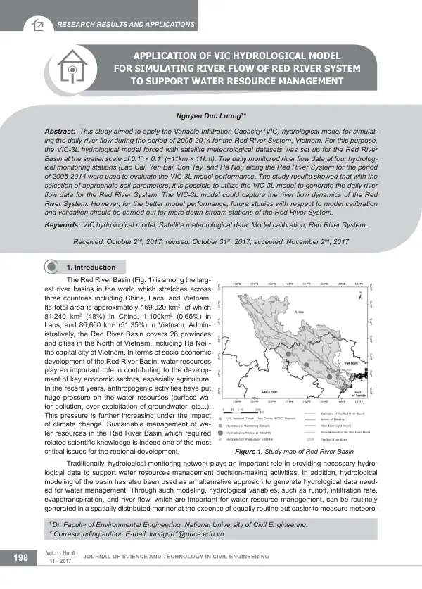
It covers an area of approximately 169,020 km2, with 81,240 km2 in China, 1,100 km2 in Laos, and 86,660 km2 in Vietnam. The basin is administratively divided into 26 provinces and cities in the North of Vietnam, including Ha Noi, the capital city of Vietnam. Water resources play a crucial role in the socio-economic development of the Red River Basin, particularly in agriculture. The Red River Basin faces significant pressure on its water resources due to anthropogenic activities, including surface water pollution and over-exploitation of groundwater. Climate change has further exacerbated this issue, making sustainable management of water resources a critical challenge for regional development. Hydrological monitoring networks provide essential data for water resources management decision-making, but hydrological modeling has emerged as an alternative approach to generate hydrological data. The Variable Infiltration Capacity (VIC) hydrological model was applied to simulate the daily river flow of the Red River System in the Red River Basin. The VIC-3L model was set up at a spatial scale of 0.1o × 0.1o (~11km × 11km) and forced with satellite meteorological datasets. The model was evaluated using daily monitored river flow data from four hydrological monitoring stations along the Red River System for the period of 2005-2014. The input data for the VIC hydrological model included topographic data, meteorological forcing data, vegetation data, and soil data. Topographic data were collected from the Shuttle Radar Topographic Model (SRTM), while meteorological data were obtained from 19 U.S. NCDC weather stations. Land cover properties were taken from the U.S. Geological Survey (USGS), and vegetation data were obtained from Terra Moderate Resolution Imaging Spectroradiometer (MODIS) satellite. Soil type data were collected from the Food and Agriculture Organization (FAO). The VIC-3L model was capable of solving full water and energy balances, making it a suitable choice for simulating river flow. The model's performance was evaluated using Pearson's correlation coefficient (R) and Nash-Sutcliffe efficiency (NSE). The results showed that the VIC-3L model could capture the river flow dynamics of the Red River System, but further studies are needed to improve the model's performance, particularly for downstream stations. The study's findings have implications for water resource management in the Red River Basin. The VIC-3L model can be used to generate daily river flow data, which can complement monitored river flow data and support water resource management decision-making. The study's results highlight the importance of using satellite-based forcing products and hydrological modeling to improve the accuracy of simulated results.