USAID DEC
Central Africa Regional Program for the Environment (CARPE) Semi-Annual Report October 01, 2017 to March 31, 2018
Sign inWILDLIFE CONSERVATION SOCIETY
Central Africa Regional Program for the Environment (CARPE) Semi-Annual Report October 01, 2017 to March 31, 2018
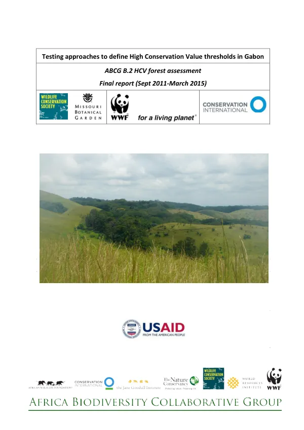
The Lac Télé – Lac Tumba Forest Landscape is a unique area in the Congo Basin, covering approximately 70% of wetland, including swamp forest and grassland.
2018 · 20 pages
Sign in to readA free account is required to download.
Abstract
This landscape is the world's largest swamp-forest, largest Ramsar site, and second-largest wetland, storing 30 billion metric tons of carbon, which could help offset climate change. The area is also home to a vast array of biodiversity, including gorillas, chimpanzees, bonobos, and over 7,000 plant species. The landscape is inhabited by approximately 2 million people, with the majority living in the Democratic Republic of Congo (DRC). The communities on the Republic of Congo (RoC) side are at a lower density and have maintained more of their original social structure and cohesion. The specific threats to the landscape include high human population density, deforestation, and commercial logging, as well as indirect drivers such as poverty and lack of agricultural training or inputs. The core of the RoC sector is the Lac Télé Community Reserve, which is a community reserve gazetted in 2001 and designated as a Ramsar site in 1998. The reserve is home to over 13,000 people, composed of around 94% of Bomitaba and around 5% of Banbendjélé, with the remainder divided into Community-Based Natural Resources Management (CBNRM) zones. The primary threats to biodiversity in these zones include poaching, trafficking, bush fire, and forest cutting along rivers and slash-and-burn agriculture. The World Wildlife Fund (WWF) is focusing its efforts on the highest priority areas for biodiversity conservation and REDD+ on the DRC side of the landscape. The beneficiary targets are around 1 million inhabitants of the operational areas of the landscape who live in the DRC. Areas with particularly high biodiversity include the Ngiri Nature Reserve and the CBNRM Ngombe, while areas with high carbon stocks and high rates of deforestation include the Tumba-Lediima Reserve and the Sebo grazing concession. From October 1, 2017, to March 31, 2018, WWF and other key partners carried out CAFEC activities in the Lac Tumba landscape. Significant achievements were made under various strategies, including strengthening protected area management capacity, implementing land use management plans, enhancing law enforcement and prosecution, promoting sustainable livelihood alternatives, and promoting ecologically sustainable artisanal use of natural resources. Key achievements during the first semester of FY18 included the consolidation of biomonitoring using the SMART tool, strengthening the technical capacity of ecoguards, getting data from community monitoring patrol activities, and identifying villages for participatory mapping. Additionally, 14 community forest concession titles were obtained, covering a total area of 80,424 hectares, and 18 communities were identified and sensitized on community forest processes. The establishment of an informants network on wildlife crime and the organization of three missions on wildlife and forest control were also notable achievements. Biodiversity conservation and combating wildlife trafficking were key areas of focus during the reporting period. Selected indicators showed that 2,122,473 hectares of biological significance were put under improved management, representing 100% of the annual target. However, the proportion of critical habitat for elephants and apes that was being effectively patrolled was only 8.9%, falling short of the 60% target. The number of incidents of poaching detected in the field was also lower than expected, with only 0.03 incidents per km patrol effort.