USAID DEC
Evaluation of regional climate models performance in simulating rainfall climatology of Jemma sub-basin, Upper Blue Nile Basin, Ethiopia
Sign inTEXAS A&M INTERNATIONAL UNIVERSITY
Evaluation of regional climate models performance in simulating rainfall climatology of Jemma sub-basin, Upper Blue Nile Basin, Ethiopia
Regional Climate Models (RCMs) were evaluated for their performance in simulating rainfall climatology of the Jemma sub-basin, Upper Blue Nile Basin, Ethiopia.
2018 · 11 pages
Sign in to readA free account is required to download.
Abstract
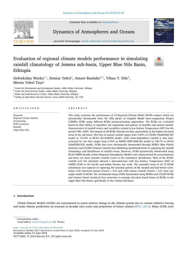
The study utilized 10 RCM outputs dynamically downscaled from the fifth phase of the Coupled Model Inter-comparison Project (CMIP5) Global Climate Models (GCMs). The RCMs were evaluated based on their ability to reproduce the magnitude and pattern of monthly and annual rainfall, characteristics of rainfall events, and variability related to Sea Surface Temperature (SST) for the period 1981-2005. The outputs of all RCMs showed wet bias, particularly in the higher elevation areas of the sub-basin. Wet bias of annual rainfall ranged from 9.60% in the CCLM4 (HadGEM2-ES) model to 110.9% in the RCA4 (EC-EARTH) model. June-September (JJAS) rainfall was also characterized by wet bias, ranging from 0.76% in the REMO (MPI-ESM-LR) model to 100.7% in the RCA4 (HadGEM2-ES) model. The GCMs that were dynamically downscaled through REMO (Max Planck Institute) and CCLM4 (Climate Limited-Area Modeling) performed better in capturing the rainfall climatology and distribution of rainfall events. However, the GCMs dynamically downscaled using RCA4 (SMHI Rossby Center Regional Atmospheric Model) were characterized by overestimation and had more extreme rainfall events in the cumulative distribution. Most of the RCMs' rainfall over the sub-basin showed a teleconnection with Sea Surface Temperature (SST) of CMIP5 GCMs in the Pacific and Indian Oceans, but weak. The ensemble mean of all 10 RCMs simulations was superior in capturing the seasonal pattern of the rainfall and had better correlation with observed annual (Correl = 0.6) and JJAS season rainfall (Correl = 0.5) than any single model. The study area, Jemma sub-basin, is located in the Central Highland of Ethiopia, with a catchment area of approximately 15,000 km2. The sub-basin has a highly variable climate, influenced by moisture from various regions, including the Indian Ocean, Equatorial east Pacific, Gulf of Guinea, Mediterranean region, and Arabian Peninsula. The sub-basin receives annual rainfall ranging from 697 mm to 1475 mm, with two rainfall seasons: JJAS (June-September) and MAM (March-May). The mean annual temperature in the sub-basin ranges from 9 °C to 24 °C, and the agro-ecologies range from cold, moist sub-Afro alpine to warm sub-moist lowlands. The study utilized daily observed rainfall data for the period 1981-2005, collected from the Ethiopian National Meteorological Agency (NMA). The RCMs that capture rainfall climatology of the Jemma sub-basin will be used for further statistical bias correction, hydrological modeling, and other climate change mitigation and adaptation measures in the sub-basin. The results of this study highlight the importance of using multiple RCM outputs and robust downscaling methods to reduce uncertainty in climate model outputs for climate change impact assessment.
Related documents