USAID DEC
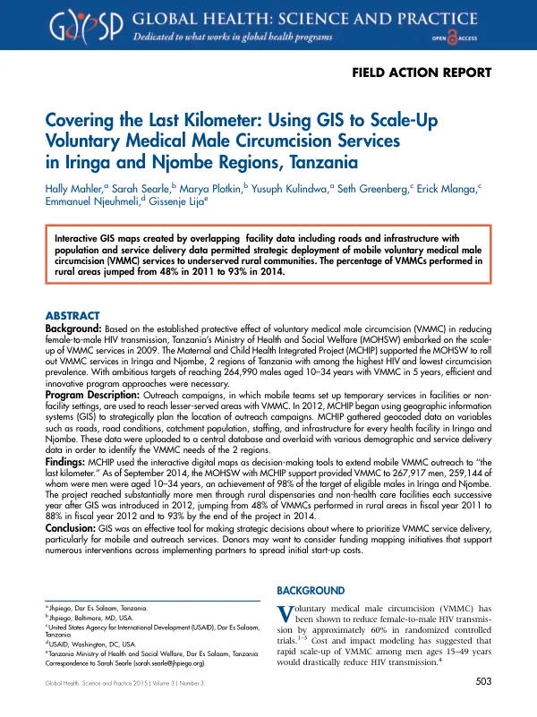
Field Action Report: Covering the Last Kilometer: Using GIS to Scale-Up Voluntary Medical Male Circumcision Services in Iringa and Njombe Regions, Tanzania
Sign inJHPIEGO
Field Action Report: Covering the Last Kilometer: Using GIS to Scale-Up Voluntary Medical Male Circumcision Services in Iringa and Njombe Regions, Tanzania
The Maternal and Child Health Integrated Project (MCHIP) supported the Ministry of Health and Social Welfare (MOHSW) of Tanzania to roll out voluntary medical male circumcision (VMMC) services in Iringa and Njombe regions.
2015 · 13 pages
Sign in to readA free account is required to download.
Abstract
The program aimed to reach 264,990 males aged 10-34 years with VMMC services by 2015. In the first year of implementation, 22,970 males received VMMC services, and coverage almost doubled to 42,667 males in the following year. To achieve the ambitious target, the program evolved to include outreach campaigns and mobile sites. Fixed sites offered VMMC services on scheduled days to clients willing to seek services at central locations, but the project needed to bring services out of urban areas and into rural areas where demand was high but access to VMMC was low. Campaigns became a norm in addition to fixed site services, offering VMMC at specified sites for a specified time frame accompanied by demand creation activities. However, most dispensaries in which campaign services were situated were located in urban areas and within close proximity of each other. To further extend the reach of VMMC services, the program introduced full-time mobile outreach VMMC teams in 2014. These teams traveled year-round to underserved areas to provide VMMC services wherever they were needed. To prioritize locations and populations for campaigns and mobile VMMC services in remote rural areas, MCHIP developed an approach using geographic information systems (GIS). Project staff used GIS daily for planning mobile services to achieve maximum coverage. GIS allowed the representation of data referenced by their geospatial coordinates, enabling the precise placement of administrative boundaries, roads, or terrain features linked to other data points. The use of GIS in the VMMC program in Tanzania evolved through two distinct phases, from the use of static, imperfect, and infrequently updated maps to the use of more dynamic, interactive, and iteratively updated maps. The program's use of GIS technology enabled the strategic planning and implementation of outreach campaigns to extend VMMC services to remote rural areas and achieve rapid scale-up. As of September 2014, the MOHSW with MCHIP support provided VMMC to 267,917 men, 259,144 of whom were men aged 10-34 years, an achievement of 98% of the target of eligible males in Iringa and Njombe. The project reached substantially more men through rural dispensaries and non-health care facilities each successive year after GIS was introduced in 2012, jumping from 48% of VMMCs performed in rural areas in fiscal year 2011 to 88% in fiscal year 2012 and to 93% by the end of the project in 2014. The use of GIS technology was an effective tool for making strategic decisions about where to prioritize VMMC service delivery, particularly for mobile and outreach services. Donors may want to consider funding mapping initiatives that support numerous interventions across implementing partners to spread initial start-up costs.