ABT ASSOCIATES
Global Positioning System Data Collection Guidelines
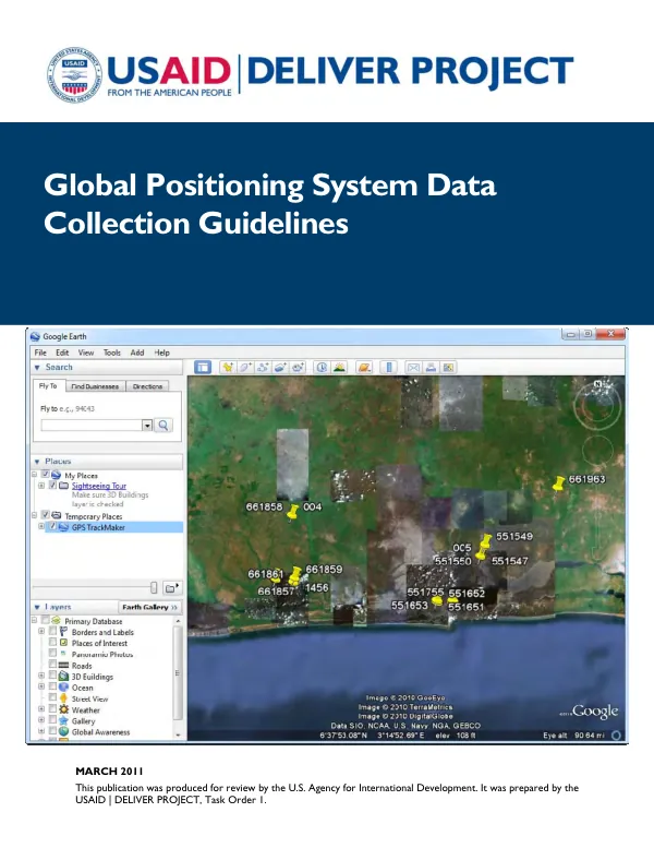
Global Positioning System Data Collection Guidelines were developed to provide basic instructions for recording health facilities' GPS coordinates using the Garmin etrex Venture HC, a commercially available mapping device.
2011 · 26 pages
Sign in to readA free account is required to download.
Abstract
The guidelines aim to ensure that data captured by the GPS device fits the format recommended for use with the Logistics Indicator Assessment Tool (LIAT). To set up the GPS device for data collection, users must navigate to the Main Menu screen and choose the Setup option. They must then select the System Setup screen and configure the GPS settings, including disabling the WAAS/EGNOS option and confirming the type of battery and language used. Additionally, users must set the External Power Lost option to Stay On. On the Units Setup screen, users must configure the position format, map datum, distance/speed, elevation, and depth settings. The position format should be set to hddd.dddddº (decimal degrees), and the map datum should be set to WGS 84. The distance/speed setting should be set to Statute (miles) or Metric, depending on the unit of measurement used in the country being evaluated. The elevation and depth settings should be set accordingly. Once the GPS device is set up, users can begin collecting waypoints for health facilities. This involves choosing where to collect waypoints, marking waypoints, and reviewing and editing waypoints. Users can also download GPS data to a computer, export waypoints, and review additional options. The guidelines emphasize the importance of using Geographic Information Systems (GIS) information as part of a facility-based supply chain assessment. GIS adds value to information obtained with the LIAT by increasing ways data can be used and providing a simple method for visually demonstrating results. The use of GPS coordinates or waypoints is key to pinpointing a particular location and providing accurate data for logistics management information systems. The guidelines provide a step-by-step approach to setting up the GPS device and collecting waypoints for health facilities. By following these guidelines, users can ensure that their data is accurate and compatible with the LIAT. The use of GPS technology and GIS information can help identify logistics issues specific to certain areas of a country and provide a simple method for visually demonstrating results. The guidelines also highlight the importance of using a commercially available mapping device, such as the Garmin etrex Venture HC, to capture GPS coordinates. A complete owner's manual, including descriptions of advanced operations and troubleshooting advice, can be downloaded from the Garmin website. Overall, the Global Positioning System Data Collection Guidelines provide a comprehensive approach to collecting GPS data for health facilities using the Garmin etrex Venture HC. By following these guidelines, users can ensure that their data is accurate and compatible with the LIAT, and that they can effectively use GIS information to identify logistics issues and improve supply chain management.
Related documents