IDEAM
Insumos técnicos para la formulación del Plan de Desarrollo 2020 - 2023
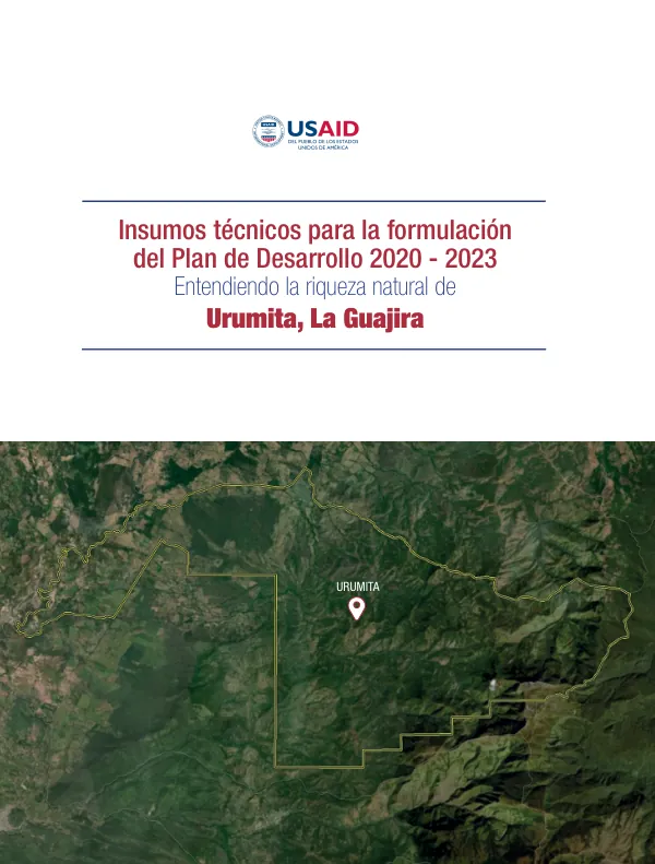
The municipality of Urumita, located in the department of La Guajira, covers an area of 24,658 hectares and has a population of 10,198 people, according to the 2018 census.
2020 · 13 pages
Sign in to readA free account is required to download.
Abstract
The main economic activities in the municipality are agriculture and livestock. The municipality is situated between 121 and 3,344 meters above sea level. The municipality is characterized by a diverse range of ecosystems, including agroecosystems, which cover 61% of the area, followed by bosque fragmentado, which accounts for 13% of the area. The remaining 26% of the area is composed of other ecosystems, including arbustal, subxerofitia, paramo, and bosque. The municipality has a total of 15% of its area in a natural state, with the remaining 85% being transformed. The municipality is home to several microcuencas, including the Villanueva, Los Quemaos, Quiebrapalos, Mocho, and Marquezote rivers. The Cerro El Pintao is a key location, as it is the source of several rivers that supply water to the municipalities of Villanueva, Urumita, and La Jagua del Pilar. The municipality has a total of 21% of its area under protection, including the Parque Natural Regional Cerro Pintao. The municipality has a high level of biodiversity, with a total of 1,005 species identified. However, the area is also prone to deforestation, with a total of 24% of the area experiencing high levels of deforestation between 1990 and 2018. The areas with the highest levels of deforestation are located in the southern part of the municipality, which also has the lowest levels of forest cover. The municipality is also vulnerable to climate change, with projected decreases in precipitation of between 10% and 19% in the majority of the territory, and between 20% and 29% in the western and southern parts of the municipality. The temperature is also expected to increase, with a projected rise of 0.8-1.0°C in the eastern part of the municipality between 2011 and 2040, and a rise of up to 2.7°C in more than half of the municipality by 2100. The municipality is also home to several mining and hydrocarbon concessions, with a total of 6,687 hectares of land allocated for mining activities, which corresponds to 27% of the municipality's area. The majority of the municipality is also located within hydrocarbon blocks, with 49% of the area classified as exploration blocks. Overall, the municipality of Urumita faces several challenges related to environmental degradation, climate change, and the exploitation of natural resources. It is essential to implement measures to protect the municipality's biodiversity, promote sustainable land use practices, and develop strategies to mitigate the impacts of climate change.