USAID DEC
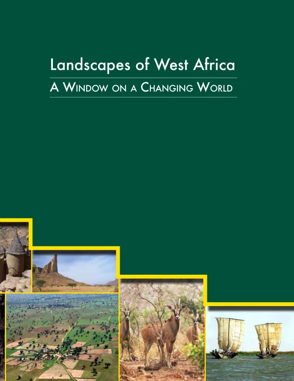
Landscapes of West Africa – A Window on a Changing World
West Africa has experienced significant climate stress since the 1970s, including heavy rains, floods, and droughts.
2016 · 236 pages
Sign in to readA free account is required to download.
Abstract
Drought has had a particularly devastating impact on agricultural production, pastoral livelihoods, and natural ecosystems, resulting in estimated economic losses of billions of dollars. Climate stressors have led to initiatives to combat desertification and adapt to climate change, with the Comité Inter-états de Lutte contre la Sécheresse dans le Sahel (CILSS) and the U.S. Agency for International Development (USAID) implementing activities to benefit the population of the Sahel and all of West Africa. The West Africa Land Use Dynamics (LULC) Project, initiated in 1999, is a key example of this cooperation. The project has undergone several phases, including training national experts to extract information from satellite images to characterize vegetation cover and producing tools and supporting information on land cover dynamics. This atlas, Landscapes of West Africa: Window on a Changing World, is part of the current phase of the LULC project and provides insights into the changes occurring at national and regional levels. The atlas focuses on the physical geography of West Africa, including bioclimatic regions, landscapes of the Sahara Desert, ecological regions, biodiversity, and protected areas. The W-Arly-Pendjari Transboundary Reserve is highlighted as a notable example of conservation efforts in the region. The atlas also explores the drivers of land changes, including population growth and climate change, and examines land productivity, land use, and land cover trends from 1975 to 2013. West Africa's land use and land cover maps are presented, showcasing the expansion of agriculture, growth of settlements, deforestation of the Upper Guinean Forest, and changes in mangrove ecosystems. The atlas also discusses landscape restoration and re-greening efforts in the region. Country profiles, including Benin, Burkina Faso, Cabo Verde, Côte d'Ivoire, Gambia, Ghana, Guinea, Guinea-Bissau, Liberia, Mali, Mauritania, Niger, Nigeria, Senegal, Sierra Leone, Chad, and Togo, provide detailed information on land use and land cover trends, as well as drivers of change. The atlas is a collaborative effort between CILSS, USAID, and the U.S. Geological Survey Earth Resources Observation and Science (USGS EROS) Center, with contributions from various experts and institutions. The publication is a valuable resource for understanding the complex dynamics of land use and land cover in West Africa and provides insights into the region's changing environment.