MEASURE EVALUATION PRH
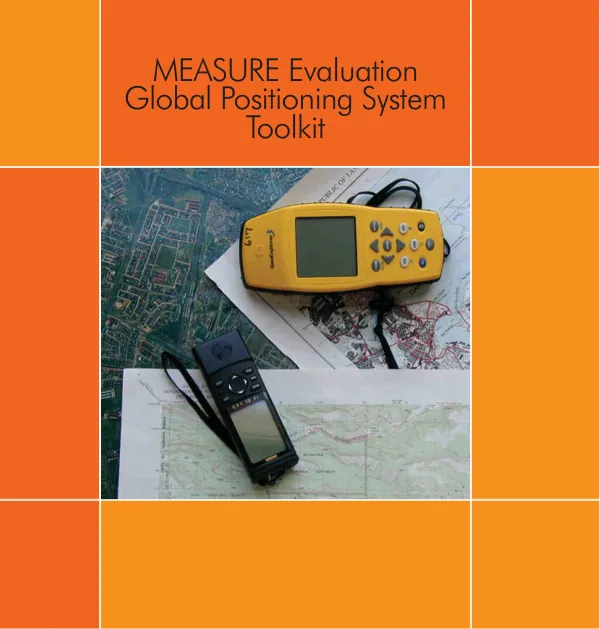
MEASURE Evaluation GPS Toolkit
The MEASURE Evaluation GPS Toolkit is a comprehensive resource designed to provide standardized data collection protocols, training materials, and troubleshooting guides for MEASURE Evaluation projects.
2009 · 32 pages
Sign in to readA free account is required to download.
Abstract
The toolkit is intended to be taken into the field, along with GPS units, and serve as a reference for data collection personnel. A fundamental principle of monitoring and evaluation is ensuring that services and interventions are effective and adequately address health needs. Knowing the location of the service or intervention, as well as the population in need, can provide meaningful context and strengthen the analysis. A vital tool for obtaining location is the global positioning system (GPS) receiver. The GPS data collection process involves several key steps, including the design of a data collection strategy, training of data collection personnel, and validation of collected data. The data collection strategy should answer questions such as who will collect the data, at what stage of the survey will data collection commence, and how will the data be validated. Data collection personnel should be trained in the proper protocols, including material on "How GPS Works," "Introduction to the GPS Unit," and "Collection Protocols." During fieldwork, the data collection team will use GPS units to collect coordinates. The data manager should monitor all aspects of the data collection effort to ensure that points are being collected correctly and that points do not show up outside of the expected project area. If there are data collection problems, catching them at this stage will make it much easier to correct problems. After fieldwork is complete, the data manager should review the points collected and validate them, making certain they are within the acceptable ranges. If the data manager has access to mapping software, an initial map can be created to validate the locations. If problems are detected, the incorrect coordinates will need to be corrected. If there are no problems, the data manager should then create an ASCII text file for the complete set of coordinates. The GPS unit featured in this toolkit is a Garmin GPS 72, which was selected due to its low cost, reliability, and ease of use. The unit is a recreational grade receiver that is water-resistant, rugged, and suitable for a variety of environments. The unit is powered by two "AA" batteries and has a download port on the back, which allows users to download the stored data directly to a computer. Before the GPS units are distributed to the team member(s), it is essential that they be properly set up, including initialization, which involves selecting NEW LOCATION and then AUTOMATIC from the subsequent dialog box if the receiver displays the error message Poor Satellite Reception.