USAID DEC
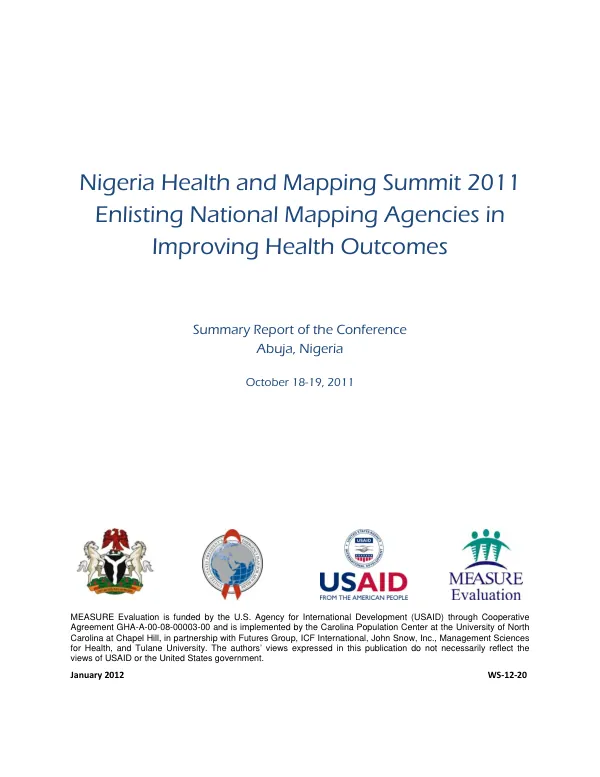
Nigeria Health and Mapping Summit 2011: Enlisting National Mapping Agencies in Improving Health Outcomes
Sign inFUTURES GROUP INTERNATIONAL, LLC
Nigeria Health and Mapping Summit 2011: Enlisting National Mapping Agencies in Improving Health Outcomes
The Nigeria Health and Mapping Summit 2011 was a collaborative effort between the Federal Government of Nigeria and MEASURE Evaluation, a program funded by the U.S.
2012 · 286 pages
Sign in to readA free account is required to download.
Abstract
Agency for International Development (USAID). The conference, held at the Reiz Continental Hotel in Abuja on October 18-19, 2011, aimed to enlist national mapping agencies in improving health outcomes. This event marked the first time government representatives from the health and mapping sectors had met at the country level in Africa to harmonize national efforts to improve health outcomes through the effective leveraging of the National Geospatial Data Infrastructure (NGDI). The conference built on a previous collaboration between the health and mapping sectors, which was launched in April 2009 at the Committee on Development Information, Science and Technology (CODIST) I pre-conference workshop in Addis Ababa, Ethiopia. The 14 Nigerian participants at the CODIST I pre-conference workshop recommended a similar meeting in Nigeria, which was fulfilled by the Nigeria Health and Mapping Summit 2011. The use of geographic approaches in improving health outcomes, including the fight against HIV/AIDS, is increasing, but health ministries and national AIDS coordinating agencies often lack capacity to use spatial data and tools such as geographic information systems (GIS). Nigeria has an established NGDI, which has built capacity within the country for the creation and use of spatial data and tools. A national mapping agency (NMA) is responsible for coordinating NGDI efforts and providing expertise in the creation, maintenance, and use of spatial data and GIS software. The conference drew 120 participants from the health and mapping sectors, including implementing partners, training institutions, the National Planning Commission, and media. The specific objectives of the meeting were to facilitate cooperation between Nigeria's health and mapping sectors in the fight against HIV/AIDS and related health and social service challenges, increase awareness and sharing of geospatial resources within Nigeria to enhance decision making for health sector programs, and identify challenges to the development of the NGDI and create an action plan to address them. The planning and organization of the conference ensured that the process was country-led and country-owned, participatory, reflective, and allowed for consensus building. The conference included a concept paper on the background, objectives, and outcomes, as well as benefits to the country, to be derived from the conference. The event was divided into an opening ceremony, two technical sessions, and a breakout session for group work. The opening ceremony provided opportunities for policymakers and government functionaries to declare their support and make goodwill messages in support of the activities. A keynote address entitled "Geospatial Resource Sharing and National Spatial Data" was delivered by Professor R.A. Boroffice, Chairman of the Senate Committee on Science and Technology. The conference sought to initiate a pan-Nigeria community of practice to increase involvement of the Nigeria Federal Ministry of Health in the NGDI process and to build linkages between health sector agencies and NGDI actors, including NMAs. The conference also aimed to increase awareness and sharing of geospatial resources within Nigeria to enhance decision making for health sector programs. The specific objectives of the meeting were to facilitate cooperation between Nigeria's health and mapping sectors in the fight against HIV/AIDS and related health and social service challenges, increase awareness and sharing of geospatial resources within Nigeria to enhance decision making for health sector programs, and identify challenges to the development of the NGDI and create an action plan to address them. The conference was a significant step towards improving health outcomes in Nigeria through the effective leveraging of the NGDI. The event brought together government representatives, implementing partners, training institutions, and media to discuss the importance of geospatial approaches in improving health outcomes and to identify challenges to the development of the NGDI. The conference also provided opportunities for policymakers and government functionaries to declare their support and make goodwill messages in support of the activities. The conference was a fulfillment of the recommendation made by the 14 Nigerian participants at the CODIST I pre-conference workshop in April 2009.
Related documents