CDM INTERNATIONAL, INC.
Pollution Prevention for Environmental Health Protection Project
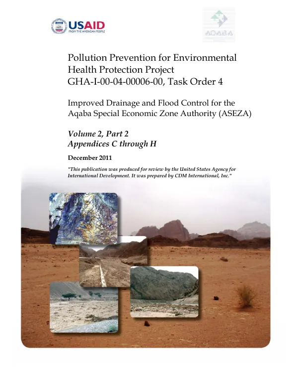
The Improved Drainage and Flood Control for the Aqaba Special Economic Zone Authority (ASEZA) project aimed to analyze the erosion and sedimentation characteristics of Wadis Yutum and Titin to predict reaches of potential scour or deposition and estimate sediment yield from the combined Wadi Yutum/Titin complex.
2011 · 251 pages
Sign in to readA free account is required to download.
Abstract
A U.S. Army Corps of Engineers (USACE) Hydraulic Engineering Center (HEC)-6 model was developed to simulate the long-term average pattern of scour and deposition in the rivers and reservoirs. The HEC-6 model is a one-dimensional sediment transport model that predicts water surface and sediment bed surface profiles by computing the interaction between sediment material in the riverbed and the sediment carrying capacity of the river flow. The model was used to simulate the short- and long-term changes in channel bed elevation and evaluate existing and proposed river bed stability and sediment transport characteristics. The model input data includes geometric, hydrologic, and sediment data. Geometric input data includes cross-section geometry, reach lengths, and Manning's roughness and expansion/contraction coefficients. Hydrologic data required for HEC-6 model development includes time series flow data and a downstream flow boundary condition. Sediment data input required for the HEC-6 model consist of bed material gradation and inflowing sediment load data. The model was developed using data from the project HEC-RAS model, which was transformed into HEC-6 input file format. The HEC-RAS model was built using metric system units, but only English system units can be used in the HEC-6 model. Therefore, the HEC-RAS model was converted into the English units system before the HEC-6 transformation. The 100-year flood hydrographs based on rainfall scenario 1 were selected for the sediment transport analysis, which produces most runoff volume and sediment yield of the three scenarios. The 100-year flood hydrographs at the downstream end of both Wadis Yutum and Titin are presented in Figure 2-1. The inflowing sediment entering the upstream model boundary is called the inflowing sediment load, expressed in tons per day. The inflowing sediment load was estimated from the sediment rating curves presented in the Aqaba Basin-Wide Flood Control Study - Final Master Plan Report. The HEC-6 model was used to simulate the scour and deposition along Wadis Yutum and Titin, and the potential scour at bridge crossings were examined. Total scour at a bridge crossing has two components: general scour and localized scour. The general scour is a lowering of the streambed at the bridge, which may result from contraction of the flow. Localized scour involves removal of bed material from around piers, abutments, spurs, and embankments, which is caused by an acceleration of flow and resulting vortices. The model results show that the impact on the modeling results due to representing bridge piers using cross-section geometry was insignificant. The model results also show that the 100-year flood hydrographs based on rainfall scenario 1 produce most runoff volume and sediment yield of the three scenarios. The model results will be used to evaluate existing and proposed river bed stability and sediment transport characteristics and to predict reaches of potential scour or deposition and estimate sediment yield from the combined Wadi Yutum/Titin complex.
Related documents