USAID DEC
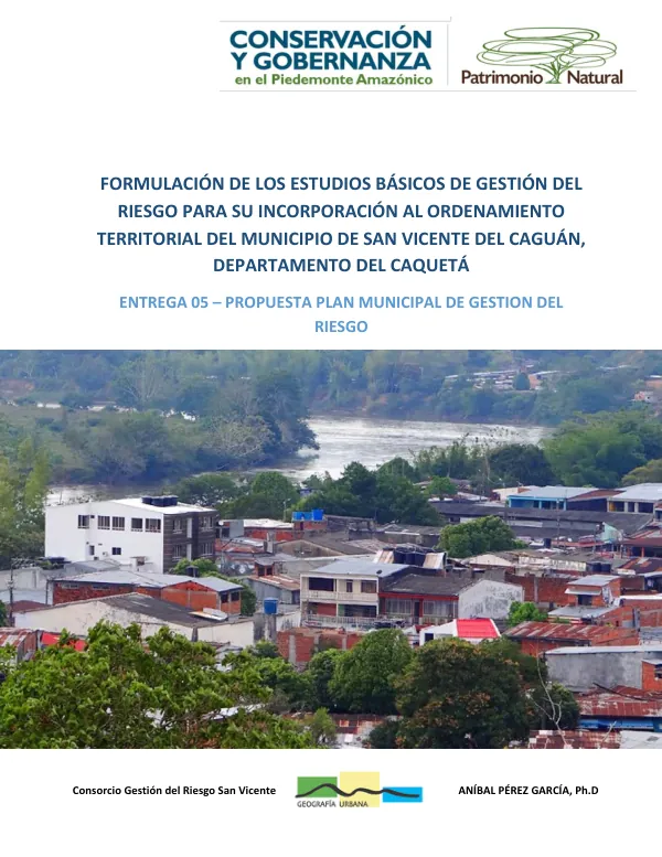
Propuesta de Actualización del Plan Municipal de Gestión del Riesgo del municipio de San Vicente del Caguán, departamento del Caquetá
Sign inUSAID DEC
Propuesta de Actualización del Plan Municipal de Gestión del Riesgo del municipio de San Vicente del Caguán, departamento del Caquetá
The municipality of San Vicente del Caguán, located in the department of Caquetá, Colombia, is characterized by a diverse geography and climate.
2018 · 71 pages
Sign in to readA free account is required to download.
Abstract
The municipality is situated in the Amazonian Piedmont region, with a total area of approximately 3,500 square kilometers. The terrain is dominated by the Andean mountain range, with elevations ranging from 200 to 2,500 meters above sea level. The municipality's climate is tropical, with high temperatures and humidity levels throughout the year. The region experiences a rainy season from April to November, with the majority of the annual rainfall occurring during this period. The dry season, which lasts from December to March, is characterized by low humidity and moderate temperatures. The municipality's population is projected to grow at a rate of 2.5% per annum, with a total population of approximately 45,000 inhabitants. The population is distributed across 15 urban centers, including the municipal capital, San Vicente del Caguán. The majority of the population is engaged in agriculture, with crops such as cacao, coffee, and bananas being the primary sources of income. The municipality's infrastructure is characterized by a network of roads, including the Pan-American Highway, which passes through the municipality. The municipality also has a number of bridges, including the San Vicente del Caguán Bridge, which spans the Caguán River. The municipality's water supply is provided by a number of rivers, including the Caguán River, which is the primary source of water for the municipality. The municipality's economy is primarily based on agriculture, with a growing tourism industry. The municipality is home to a number of natural attractions, including the Caguán River, which offers opportunities for fishing and boating. The municipality is also home to a number of cultural attractions, including the San Vicente del Caguán Museum, which showcases the history and culture of the region. The municipality's risk management plan is designed to mitigate the impacts of natural disasters, including floods, landslides, and droughts. The plan includes a number of interventions, including the construction of flood-control structures, the implementation of early warning systems, and the provision of emergency assistance to affected communities. The municipality's risk management plan is based on a number of studies, including a hazard and vulnerability assessment, which identified the municipality's most vulnerable areas. The plan also includes a number of recommendations for the reduction of risk, including the implementation of land-use planning policies, the provision of education and training to communities, and the establishment of emergency response plans. The municipality's risk management plan is a critical component of the municipality's overall development strategy. The plan is designed to ensure the safety and well-being of the municipality's residents, while also promoting economic development and social stability. The plan is based on a number of international best practices, including the Sendai Framework for Disaster Risk Reduction, which provides a global framework for disaster risk reduction. The municipality's risk management plan is a collaborative effort between the municipality, the national government, and international organizations. The plan is designed to be flexible and adaptable, with the ability to respond to changing circumstances and emerging risks. The plan is also designed to be sustainable, with a focus on long-term risk reduction and mitigation.
Related documents
![Guía para Evaluación Rápida de Daños y Manual Para diligenciamiento del Formulario de ERD [V2.1]](https://covers.devme.ai/gen/143436.webp)