USAID
SERVIR in Eastern and Southern Africa: Connecting Information from Space to Village
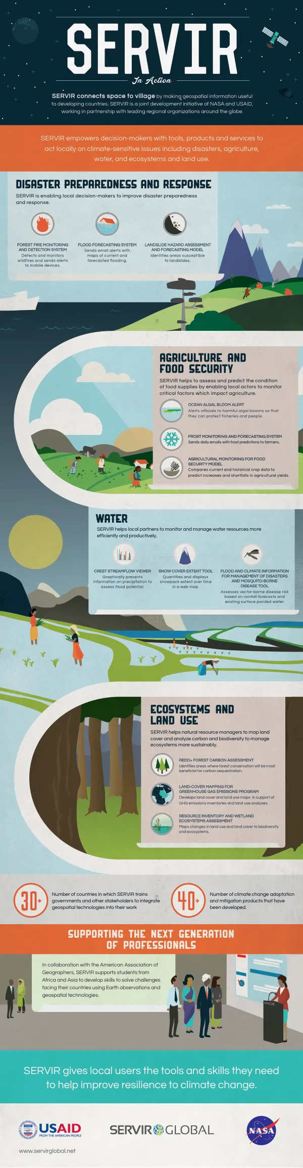
SERVIR in eastern and southern Africa is a joint development initiative of NASA and USAID, working in partnership with the Regional Centre for Mapping of Resources for Development (RCMRD), based in Nairobi, Kenya.
2015 · 2 pages
Sign in to readA free account is required to download.
Abstract
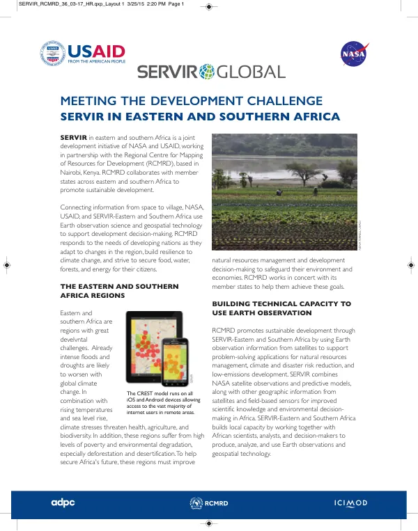
RCMRD collaborates with member states across eastern and southern Africa to promote sustainable development. Connecting information from space to village, NASA, USAID, and SERVIR-Eastern and Southern Africa use Earth observation science and geospatial technology to support development decision-making. RCMRD responds to the needs of developing nations as they adapt to changes in the region, build resilience to climate change, and strive to secure food, water, forests, and energy for their citizens. The eastern and southern Africa regions face significant development challenges. Already intense floods and droughts are likely to worsen with global climate change. Rising temperatures and sea level rise threaten health, agriculture, and biodiversity. In addition, these regions suffer from high levels of poverty and environmental degradation, especially deforestation and desertification. To help secure Africa's future, these regions must improve natural resources management and development decision-making to safeguard their environment and economies. RCMRD works in concert with its member states to help them achieve these goals. RCMRD promotes sustainable development through SERVIR-Eastern and Southern Africa by using Earth observation information from satellites to support problem-solving applications for natural resources management, climate and disaster risk reduction, and low-emissions development. SERVIR combines NASA satellite observations and predictive models, along with other geographic information from satellites and field-based sensors for improved scientific knowledge and environmental decision-making in Africa. SERVIR-Eastern and Southern Africa builds local capacity by working together with African scientists, analysts, and decision-makers to produce, analyze, and use Earth observations and geospatial technology. SERVIR-Eastern and Southern Africa has implemented several projects to address specific development challenges in the region. One such project is the Land Cover Mapping for Greenhouse Gas Emissions Inventory, which aims to track changes in forests, ground cover, and land use. This project helps six African nations develop the ability to analyze the impact of land cover change on greenhouse gas emissions. SERVIR-Eastern and Southern Africa provides training for national greenhouse gas teams and generates baseline data using Landsat satellite imagery and land cover maps for 2000 and 2010. Another project is the Ecosystem and Biodiversity Mapping, which aims to develop maps for selected flora and fauna as a baseline for assessing the potential impact of climate change on their ecosystems. National Museums of Kenya collaborated with SERVIR-Eastern and Southern Africa to incorporate ground and satellite data to develop maps for selected flora and fauna. The biodiversity visualization tool maps the region's spatial distribution of plants, fish, reptiles, and birds to produce a web-based biodiversity atlas and integrate future climate projections to help protect ecosystems and manage future land use.
Related documents