NASA
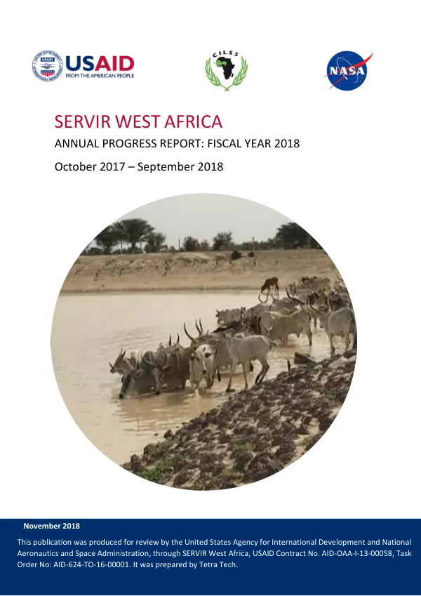
SERVIR West Africa Annual Progress Report Fiscal Year 2018
The SERVIR West Africa program supports institutions across West Africa to use satellite imagery, geospatial analysis, maps, and other data, tools, and services to improve the region's resilience, ensure sustainable land use management, and reduce greenhouse gas emissions.
2018 · 79 pages
Sign in to readA free account is required to download.
Abstract
The program aims to assist governments and other key decision-makers to make more informed decisions in four areas: food security and agriculture; water and hydro-climatic disasters; weather and climate; and land cover, land use change, and ecosystems services. SERVIR WA has four Intermediate Results (IRs) which have corresponding activities carried out in FY18. IR 1 focuses on improving the institutional capacity of AGRHYMET and partners to provide regional services and plan for sustainability of SERVIR WA. Activities to achieve this result during FY 2018 included supporting the Permanent Interstate Committee for Drought Control in the Sahel's (CILSS) Management Support Unit (MSU) in carrying out process modeling and developing a re-engineering plan for the Agrometeorology, Hydrology, and Meteorology Regional Center's (AGRHYMET) administrative and operational functions. SERVIR WA also supported the development of a system to produce and disseminate information on groundwater in Maradi and Zinder (Niger), and monitored ephemeral water bodies in Ferlo, Senegal. Additionally, the program provided technical capacity building to institutions in West Africa, including training in geospatial information technology and data management. In the area of food security and agriculture, SERVIR WA supported locust monitoring in the Western Region of Senegal, and provided training to farmers in sustainable agriculture techniques. The program also supported the development of a charcoal production site monitoring service for West Gonja and Sene Districts in Ghana. In terms of water and hydro-climatic disasters, SERVIR WA monitored ephemeral water bodies in Ferlo, Senegal, and developed a system to produce and disseminate information on groundwater in Maradi and Zinder (Niger). The program also supported the development of a flood forecasting and alert system in West Africa. In the area of weather and climate, SERVIR WA supported the development of a weather and climate service for West Africa, and provided training to institutions in the region on the use of satellite imagery and geospatial analysis. In terms of land cover, land use change, and ecosystems services, SERVIR WA supported the development of a land cover classification system for West Africa, and provided training to institutions in the region on the use of remote sensing and geospatial analysis. The program also supported the development of a West Africa Atlas of Land Cover Change. SERVIR WA has a strong partnership with institutions across West Africa, including the African Center of Meteorological Application for Development (ACMAD), the Agence Française pour le Développement (AFD), and the Economic Community of West African States (ECOWAS). The program also has a strong partnership with the United States Agency for International Development (USAID) and the National Aeronautics and Space Administration (NASA). In terms of staffing, SERVIR WA has a team of experts in geospatial information technology, data management, and institutional capacity building. The program also has a strong partnership with small-business sub-contractors, including Kanava, which provided support to SERVIR WA in carrying out an assessment of the baseline assets and functionality of AGRHYMET. Overall, SERVIR WA has made significant progress in FY18 in achieving its Intermediate Results and supporting institutions across West Africa to use satellite imagery, geospatial analysis, maps, and other data, tools, and services to improve the region's resilience, ensure sustainable land use management, and reduce greenhouse gas emissions.