USAID DEC
Sight for Sorghums: Comparisons of Satellite- and Ground-Based Sorghum Yield Estimates in Mali
Sign inTHE INTERNATIONAL CROPS RESEARCH INSTITUTE FOR THE SEMI-ARID TROPICS
Sight for Sorghums: Comparisons of Satellite- and Ground-Based Sorghum Yield Estimates in Mali
Agriculture remains a key contributor to national employment and economic output in many countries throughout the world.
2020 · 16 pages
Sign in to readA free account is required to download.
Abstract
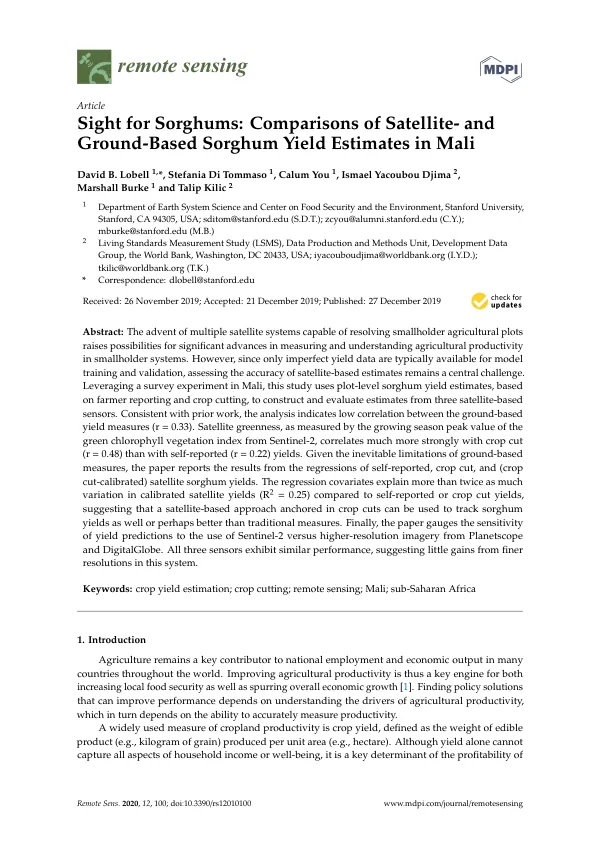
Improving agricultural productivity is thus a key engine for both increasing local food security as well as spurring overall economic growth. Finding policy solutions that can improve performance depends on understanding the drivers of agricultural productivity, which in turn depends on the ability to accurately measure productivity. A widely used measure of cropland productivity is crop yield, defined as the weight of edible product (e.g., kilogram of grain) produced per unit area (e.g., hectare). Although yield alone cannot capture all aspects of household income or well-being, it is a key determinant of the profitability of farm management as well as household food security. Accurately measuring crop yields presents a challenge in smallholder agricultural systems, where plots are typically less than 2 ha in size. Past research has primarily relied on either farmer self-reports or objective crop cuts to measure yields. Satellite remote sensing offers a potential alternative approach to measuring crop yields, especially as satellite sensors with the fine spatial resolution needed to distinguish individual smallholder plots become more prevalent. The current study assesses the accuracy of satellite-based estimates of sorghum yields in the main sorghum growing region of Mali. The study region was the Dioïla Cercle, an administrative subdivision in the southeastern part of the Koulikoro region of Mali. A farm survey was implemented during the 2017 agricultural season, and the survey fieldwork was conducted from August 2017 to February 2018 by ICRISAT-Mali, under the supervision of and technical assistance from the World Bank Living Standards Measurement Study (LSMS) team. The study focuses on sorghum, one of the primary staples in sub-Saharan Africa but less commonly studied compared to other staples such as maize and rice. Sorghum is a relatively difficult crop for remote yield estimation given the high variability within and between plots in the cultivars grown by farmers, and the relatively high variation in the harvest index (ratio of grain to total crop biomass) compared to other crops. The study systematically compares satellite measures to both self-reports and crop cuts, and across a much larger geographic domain and number of plots than is typically done. The study uses publicly available Sentinel-2 imagery (10 m spatial resolution) to estimate sorghum yields, as well as very high resolution (VHR) Planetscope (~3 m resolution) and DigitalGlobe multispectral imagery (~1–2 m resolution) to assess the added value of VHR for this application. The results of the study indicate that satellite greenness, as measured by the growing season peak value of the green chlorophyll vegetation index from Sentinel-2, correlates much more strongly with crop cut (r = 0.48) than with self-reported (r = 0.22) yields. The regression covariates explain more than twice as much variation in calibrated satellite yields (R2 = 0.25) compared to self-reported or crop cut yields, suggesting that a satellite-based approach anchored in crop cuts can be used to track sorghum yields as well or perhaps better than traditional measures. The study also assesses the sensitivity of yield predictions to the use of Sentinel-2 versus higher-resolution imagery from Planetscope and DigitalGlobe. The results indicate that all three sensors exhibit similar performance, suggesting little gains from finer resolutions in this system. The study contributes to the literature on remote sensing of yields in three primary ways: it focuses on sorghum, systematically compares satellite measures to both self-reports and crop cuts, and assesses the added value of VHR for this application.