TETRA-TECH, INC.
Tenure & Global Climate Change: Documenting Rights, Reducing Risks
The USAID Tenure and Global Climate Change program collaborated with FAPI, the Federación por la Autodeterminación de los Pueblos Indígenas, to create an interactive online map of indigenous lands in Paraguay.
2017 · 12 pages
Sign in to readA free account is required to download.
Abstract
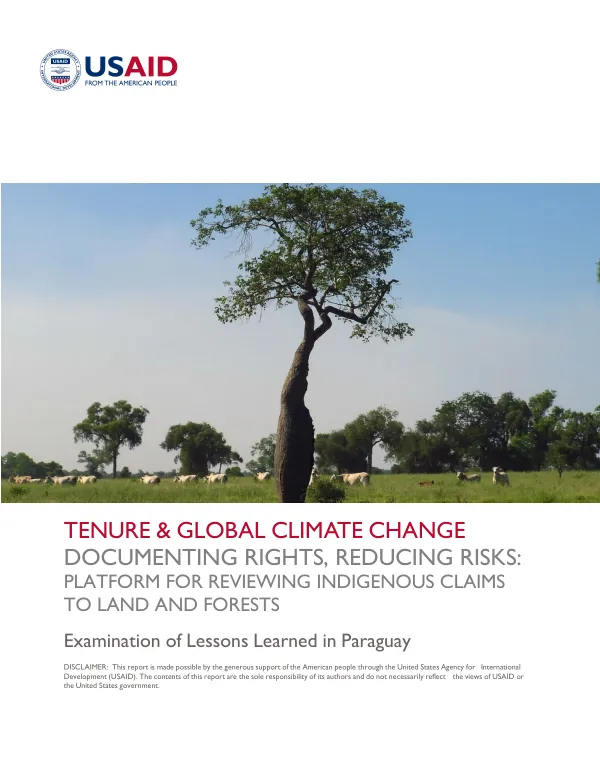
The program aimed to advance knowledge and practice on how land tenure and resource rights relate to global efforts to mitigate and adapt to climate change. Through pilot activities in five countries, common themes emerged related to using mobile applications to secure tenure, supporting the recognition and documentation of customary rights, and supporting the clarification of government and local resource rights and responsibilities. The Paraguayan intervention focused on the intersection of land tenure, deforestation, and private sector investments in the Chaco region, where commercial agriculture is expanding into the previously intact Chaco forest ecosystem. This expansion has triggered significant deforestation and land conflicts with the indigenous peoples of the Chaco, who have seen much of the region's forest turned to cattle ranches since 2000. The resulting Paraguayan website platform, called Tierras Indigenas Paraguay, was launched in November 2017, and it is intended that the data will be integrated into global platforms as well, like LandMark and Global Forest Watch. The platform provides an important method of participatory mapping and rights recognition moving forward. It consolidates existing data from disparate sources onto a public platform, making it easier for the private sector to carry out due diligence activities to reduce social and environmental risk in their sourcing. The increased availability of geospatial data on a public-oriented platform has great potential to boost the visibility of indigenous lands, and the transparency and availability of the data provide much-needed inputs for the private sector to reduce their exposure to these risks. Working with the right local partner was key to bridging the gap and successfully carrying out the intervention goals. FAPI was ideal in this role, serving as a trusted convener for their indigenous member organizations, presenting savvy and connected approaches to engaging in national politics around indigenous land issues, and demonstrating operational competence in managing partner meetings and media outreach. FAPI's reputation and influence made the project and output much more credible and trustworthy than an effort directly managed or executed from abroad by an international NGO. The intervention came at an opportune time, given the increasing global attention on the social and environmental impacts of agricultural expansion and the sourcing policies of commodity supply chain companies. This created a healthy environment in which activities of this sort would be received as constructive by both project participants and external collaborators and users. International NGOs active in Paraguay were supportive of the project, and the private sector, specifically certain players in the cattle industry and financiers, were eager to integrate the data into their due diligence processes. The platform has already shown its potential in reducing social and environmental risk in the sourcing of commodities. The increased data availability has made it easier for companies to identify and mitigate risks associated with deforestation and land grabbing. The platform has also provided a valuable tool for indigenous communities to assert their rights and interests in their lands. The success of the platform in Paraguay has set a precedent for similar initiatives in other countries, and it has demonstrated the potential for collaborative efforts between governments, NGOs, and the private sector to address the complex issues surrounding land tenure and climate change.
Related documents